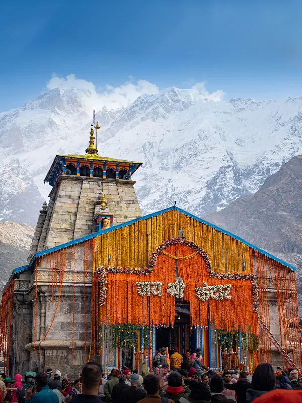
Gaurikund – Starting point of Kedarnath Yatra

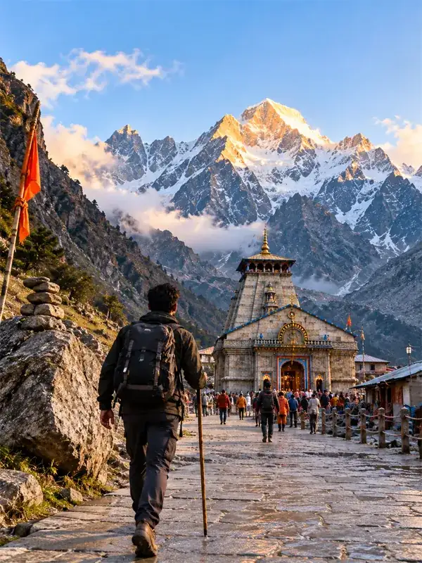
Gaurikund is a small pilgrim town in the Rudraprayag district of Uttarakhand, sitting at 1,982 metres in the Garhwal Himalayas. It's famous for one simple reason: this is where the road ends and the 16–17 km trek to Kedarnath Temple begins. For pilgrims taking the traditional road-and-trek route to Kedarnath, Gaurikund is the starting point — on foot, by pony, or by palki.
The town takes its name from the Gaurikund hot spring, a natural geothermal spring linked to Goddess Parvati (Gauri). Beyond the spring, Gaurikund is also home to the Gauri Devi Temple and sits right on the Mandakini River, with the Kedarnath range visible in the distance on a clear day.
Gaurikund is located in Rudraprayag district, Uttarakhand, at an altitude of 1,982 m (6,502 ft). It's the roadhead and base camp for the Kedarnath trek, known for its hot-water spring and the Gauri Devi Temple. The Kedarnath trek from here runs 16 to 17 km, depending on which official source you check, and most pilgrims take 6 to 9 hours to cover it on foot.
Gaurikund Location and Altitude
Gaurikund lies in the Rudraprayag district of Uttarakhand, near the Mandakini River, at an altitude of 1,982 metres (6,502 ft) above sea level. It sits on National Highway 107, which runs from Rudraprayag to Gaurikund. This is the district administration's own description of the place too — Gaurikund is officially the last bus station on the Kedarnath route, 5 km from Sonprayag. During peak Yatra season, private vehicles get stopped at Sonprayag, and shared taxis handle the final stretch into Gaurikund town.
Gaurikund History and Significance
Gaurikund's importance comes from the legends tied to it, not just its location on the trek route.
- Shiva–Parvati legend: According to Hindu tradition, Goddess Parvati (Gauri) performed penance at Gaurikund to win Lord Shiva's affection, and this is the spot where Shiva accepted her. Idols depicting the couple stand around the temple complex.
- Birth of Ganesha: Local tradition also connects Gaurikund to the story of how Ganesha got his elephant head — Parvati is said to have created him here while bathing.
- Uma Shankar Shila: A rock near Gaurikund is worshipped by some as a spot associated with sages who accompanied Shiva. This one is passed down through local belief rather than anything written down officially, so treat it as local lore rather than settled history.
What makes Gaurikund famous, in practical terms, is this combination — genuine religious weight plus its role as the roadhead for the Kedarnath trek.
Gaurikund Hot Spring — Why the Water Is Hot
The Gaurikund hot spring is a natural geothermal spring, not a man-made feature. A hydrogeological study of the site places its source in the Vaikrita Thrust zone, part of the broader Himalayan thrust system running through the Garhwal Himalaya. Groundwater moves through fractured and weathered rock along this thrust, picks up heat from the geothermal gradient, and resurfaces near the Gauri Mata temple. The same study recorded spring water temperatures between 35°C and 58°C, which is why the water stays warm through winter.
The June 2013 Kedarnath floods buried the original Kund under debris and shifted its flow. Research since then has documented efforts to understand and revive the spring system. The district administration's own page still lists a hot-water pond at Gaurikund where pilgrims bathe before starting the trek — treat this as a long-standing part of the pilgrimage rather than something guaranteed to look exactly as it did before 2013.
Gaurikund to Kedarnath Trek Distance
Here's where you'll find some disagreement even among official sources. The Rudraprayag District Administration's current page puts the trek at 17 km. The Badrinath-Kedarnath Temple Committee's own page says 16 km. Neither is wrong exactly — they're just measuring or rounding differently. For planning purposes, treat the Gaurikund to Kedarnath trek as 16 to 17 km one way, and don't hang too much on the extra kilometre either way.
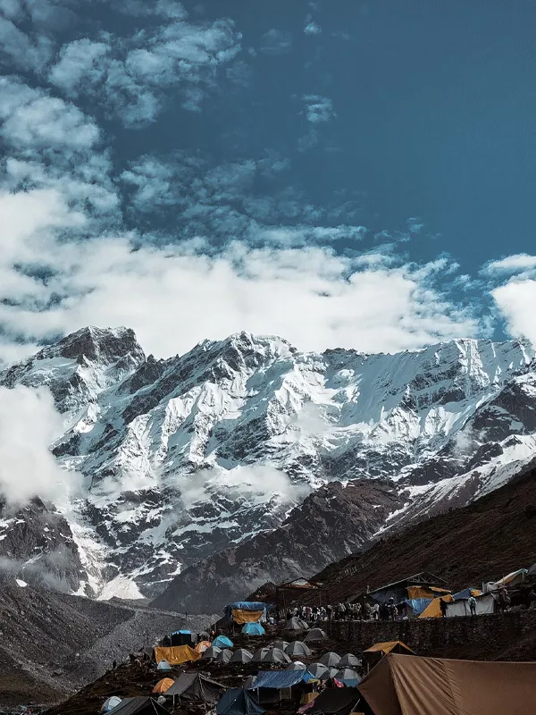
Kedarnath's altitude also isn't a fixed number across sources. The Uttarakhand Tourism portal lists 3,580 m, Wikipedia says 3,583 m, and the district's own 2026 page says 3,586 m. Starting from Gaurikund's 1,982 m, that's a climb of roughly 1,600 metres over the 16–17 km — the real reason the trek feels harder than the distance alone suggests.
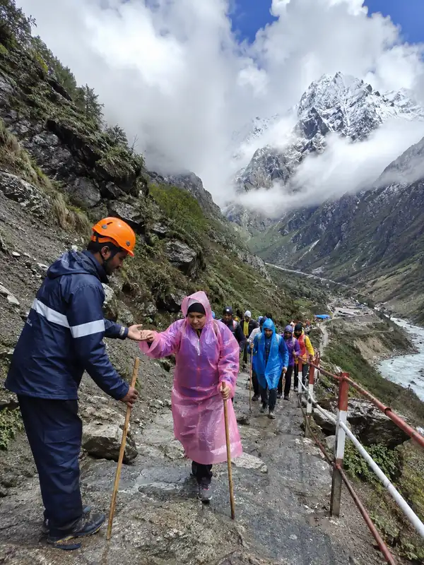
The trail passes through a handful of recognised halt points on the way up, with tea stalls, rest areas, and, in season, medical aid posts. Exact stage-by-stage distances vary between sources (even different guides on this site have used different waypoint names for the same route), so we're not going to pretend there's one definitive breakdown. What's consistent: most pilgrims take 6 to 9 hours to walk the full distance, faster if you're fit and starting early, slower with rest stops, crowds, or if you're trekking with children or elderly family.
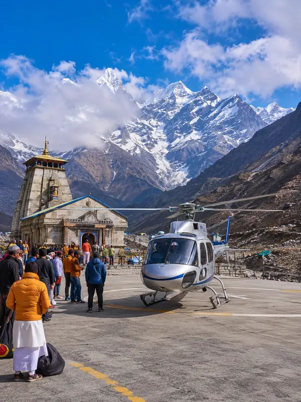
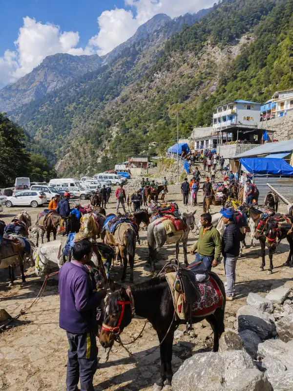
Ponies and Palki (palanquin) services are available at Gaurikund for pilgrims who don't want to walk the whole way, and helicopter services from Sirsi, Phata, and Guptkashi let you skip the trek entirely — though Char Dham Yatra registration is mandatory either way, including for the helicopter route.
How to Reach Gaurikund
By Air
The nearest airport is Jolly Grant Airport in Dehradun. The Rudraprayag district administration lists it at 250 km from Kedarnath by the road-and-trek route; figures quoted specifically to Gaurikund town run a bit lower, generally in the 224–240 km range depending on which source measured it. Either way, budget a full 8–10 hours of driving from the airport.
By Rail
The nearest railway station is Rishikesh, about 210 km from Gaurikund per the district administration's own figures. Haridwar is a bit further, commonly quoted around 230–235 km. Both stations are well connected to major Indian cities, and cabs or buses run from either toward Gaurikund.
By Road
Gaurikund sits on NH 107, which the district administration confirms runs from Rudraprayag to Gaurikund. Buses to Rishikesh and Srinagar depart from ISBT Kashmiri Gate in Delhi, and regular buses and shared taxis run from Dehradun, Rishikesh, and Haridwar toward Gaurikund via Rudraprayag and Guptkashi.
Gaurikund Distance Chart
| From | Approx. Distance |
|---|---|
| Delhi to Gaurikund | ~440–450 km (varies by route) |
| Haridwar to Gaurikund | ~230–235 km |
| Rishikesh to Gaurikund | ~210 km |
| Dehradun to Gaurikund | ~240 km |
| Rudraprayag to Gaurikund | ~70 km |
| Guptkashi to Gaurikund | ~30 km |
| Sonprayag to Gaurikund | ~5 km |
| Sitapur to Gaurikund | ~6–7 km |
| Phata to Gaurikund | ~18 km |
These are road distances, not fixed travel times — a hill road adds hours that flat-road math won't show you, and landslide or yatra-season traffic can add more on top. Don't quote a travel-time promise you can't back up; tell pilgrims to build in a buffer instead.
During the yatra season, vehicle movement beyond Sonprayag is typically restricted under the local administration's traffic and shuttle arrangements, and pilgrims continue to Gaurikund by shared taxi. These rules are set fresh each season, so check the current instructions before you travel rather than relying on last year's arrangement.
Gaurikund Weather, Temperature and Snowfall
Being high in the Himalayas, Gaurikund sees sharp seasonal swings.
- Summer (March–June): Pleasant and clear, with daytime temperatures between roughly 15°C and 24°C. This is the most popular season for both trekking and sightseeing.
- Monsoon (July–September): Best avoided. Heavy rainfall regularly triggers landslides and road blockages on the Rudraprayag–Gaurikund stretch, temperatures drop, and the trek trail becomes slippery and risky.
- Winter (October/November–February): Cold, with temperatures ranging from roughly -5°C to 16°C. Gaurikund itself gets snowfall through this period, not just the higher trek stretches, and access can be disrupted after heavy snow. Kedarnath Temple closes for winter around late October/early November (Bhai Dooj) and reopens the following April–May, so Gaurikund sees very little pilgrim traffic in these months.
Places to Visit Near Gaurikund
Gauri Devi Temple
The temple dedicated to Goddess Gauri, right in Gaurikund town, marks the spot linked to Parvati's penance. Most pilgrims stop here — and at the adjoining hot spring — before starting the Kedarnath trek. Exploration time: 1–2 hours.
Guptkashi
About 30 km from Gaurikund on the Mandakini River, Guptkashi is known for the Vishwanath Temple. According to local tradition, the deity was moved here from Varanasi during a period of invasion, to keep it safe. Exploration time: half a day.
Rudraprayag
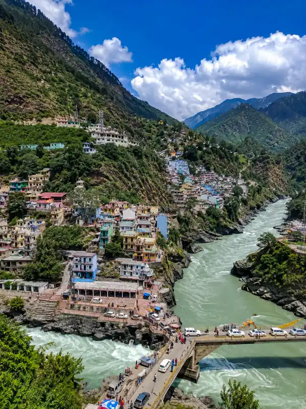
The confluence town where the Alaknanda and Mandakini rivers meet, roughly 70 km from Gaurikund. Known in local tradition as the spot where Narad received Shiva's blessing. Exploration time: half a day.
Chopta and Tungnath
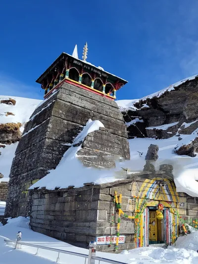
Chopta, often called the "Mini Switzerland of Uttarakhand," and the nearby Tungnath temple — one of the highest Shiva temples in the world — are popular add-ons for travellers with extra time, reached via Ukhimath. Exploration time: 1–2 days.
Gaurikund Market, Parking and Bus Stand
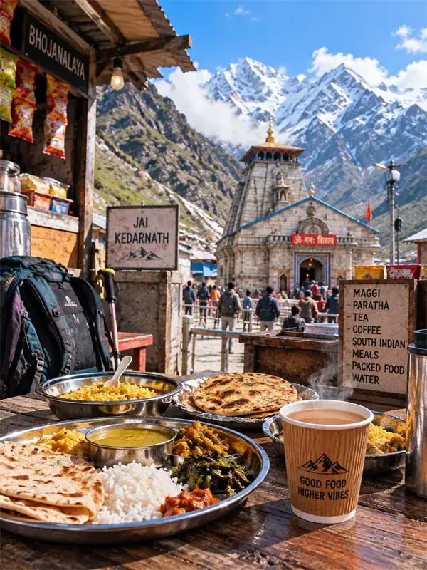
Gaurikund has a small market strip near the trek starting point with shops selling trekking gear, ponchos, walking sticks, packaged food, and basic medicines — useful for last-minute purchases before the climb. The town also has a bus stand and shared-taxi stand handling the Sonprayag–Gaurikund shuttle service.
Parking space inside Gaurikund itself is limited. In practice, most private vehicles park at Sonprayag, where the paid parking facilities are, and pilgrims cover the last stretch to Gaurikund by shared taxi.
Where to Stay in Gaurikund
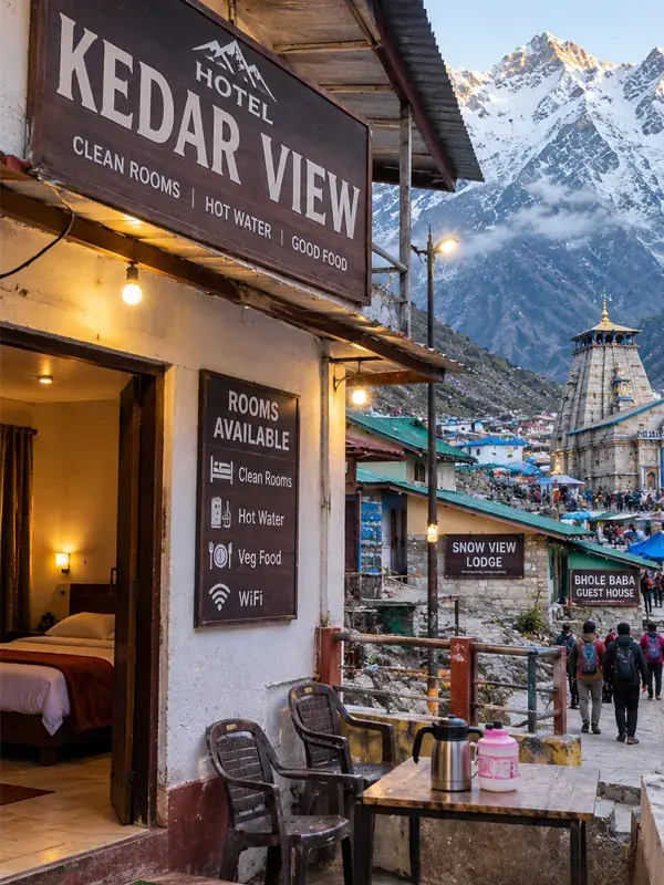
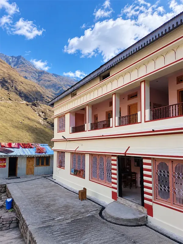
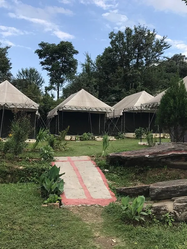
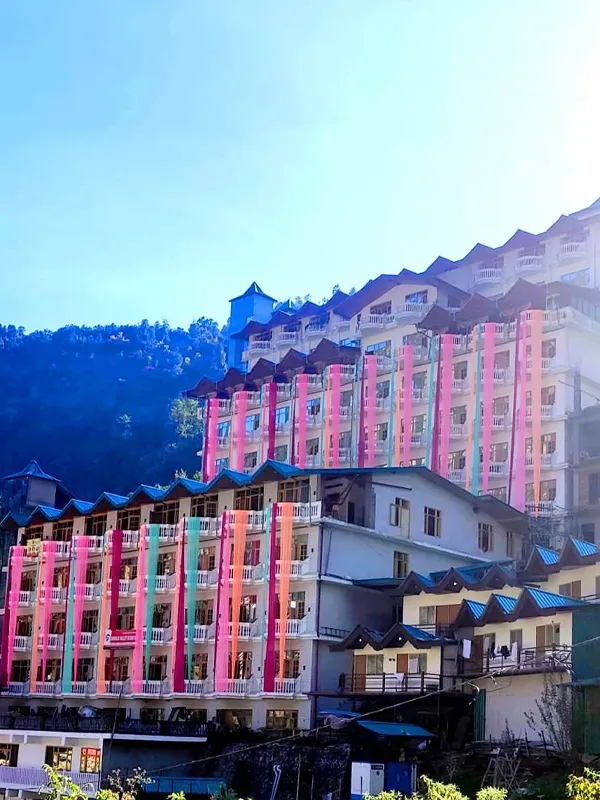
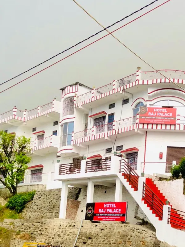
Gaurikund has a mix of budget hotels, guesthouses, and Dharamshalas near the trek point, generally offering basic rooms with hot water and simple meals — enough for an overnight halt before an early morning start. Rooms fill up fast in peak season (May–June and September–October), so booking a day or two in advance is worth it. Pilgrims who prefer more comfort often stay in nearby Sonprayag or Guptkashi instead, both of which have a wider range of hotels.
Common Mistakes to Avoid
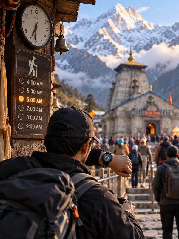
- Starting the trek late in the day. Most experienced trekkers begin by 5–6 AM, before the afternoon weather turns and the trail gets crowded.
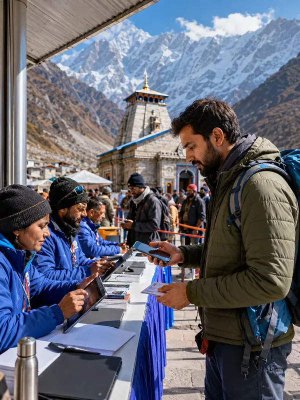
- Skipping Char Dham Yatra registration. It's mandatory for the walking trek too, not just for helicopter bookings.
- Relying only on digital payments. Mobile network thins out well before the temple, and carrying some cash saves you trouble at small shops along the way.
- Assuming a private vehicle can drive straight into Gaurikund during peak season. In practice it usually can't — plan for the Sonprayag shuttle instead.
Pro Tips
- Book a pony or palki at Gaurikund early in the morning. Demand picks up fast once the crowds arrive later in the day.
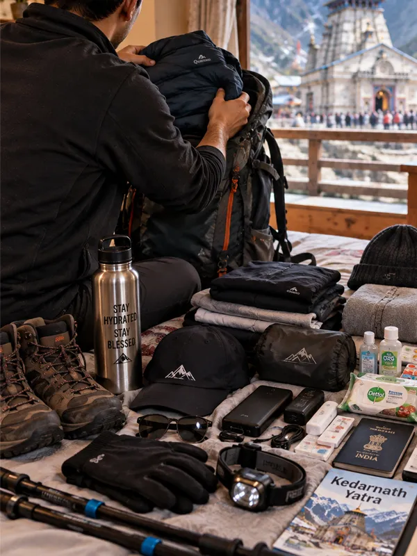
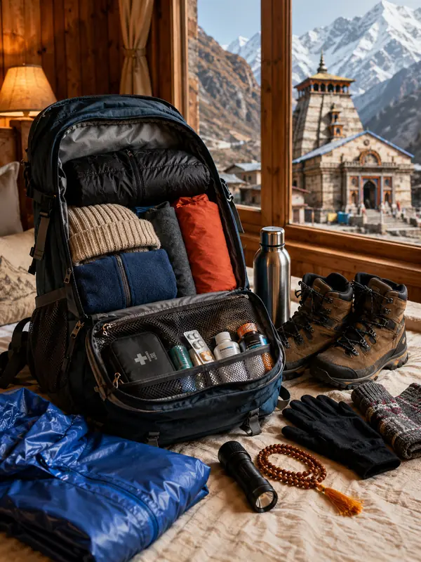
- Carry water and something warm to layer even in May–June. The temperature drops quickly once the sun goes down.
- If you're trekking with elderly family members or young children, build a rest day or an overnight halt into the plan rather than trying to do the climb in one push.
Frequently Asked Questions
Q1. Where is Gaurikund located?
Gaurikund is located in the Rudraprayag district of Uttarakhand, at an altitude of about 1,982 metres, and serves as the starting point of the Kedarnath trek.
Q2. What is Gaurikund famous for?
Gaurikund is famous for being the roadhead and base camp of the Kedarnath trek, along with its natural hot spring and the Gauri Devi Temple.
Q3. What is the Gaurikund to Kedarnath distance?
Official sources differ slightly — the district administration's current page says 17 km, the temple committee's page says 16 km. Plan for 16 to 17 km one way, covered in roughly 6 to 9 hours on foot.
Q4. Why is the Gaurikund hot spring water hot?
The spring is geothermal, with water heated as it circulates through a fault zone in the Himalaya before resurfacing near the temple; recorded temperatures range from about 35°C to 58°C.
Q5. How do I reach Gaurikund?
Gaurikund has no air or rail connectivity of its own. The nearest airport is Jolly Grant, Dehradun, and the nearest railway station is Rishikesh (about 210 km away). By road, it's reached via Rishikesh, Rudraprayag, Guptkashi, and Sonprayag.
Q6. What is the distance from Haridwar to Gaurikund?
Around 230–235 km by road. Actual drive time depends heavily on traffic and road conditions in the hills, so treat any fixed hour estimate as a rough guide rather than a promise.
Q7. What is the distance from Sonprayag to Gaurikund?
Sonprayag to Gaurikund is about 5 km. Private vehicles stop at Sonprayag, and pilgrims take a shared government taxi for this last stretch.
Q8. Is Gaurikund in Rudraprayag or Chamoli district?
Gaurikund falls in Rudraprayag district, not Chamoli. It sits on NH 107, which connects Rudraprayag town to Gaurikund.
Q9. What is the best time to visit Gaurikund?
May to June and September to October are the best months, offering clear weather and safer trekking conditions. Monsoon months (July–August) should be avoided due to landslide risk.
Q10. Does it snow in Gaurikund?
Yes. Gaurikund gets snowfall through winter (roughly November to February), not just the higher trek stretches toward Kedarnath. The temple closes for the season around late October/early November and access to the area drops sharply until it reopens in spring.
Q11. Where can I park my vehicle near Gaurikund?
Paid parking is concentrated at Sonprayag, with more available at Sitapur. During peak yatra season, private vehicle movement beyond Sonprayag is usually restricted, so check the current-season rules before you drive up.
Q12. Where can I stay in Gaurikund before the Kedarnath trek?
Gaurikund has budget hotels, guesthouses, and dharamshalas near the trek point. Advance booking is recommended in peak season, or you can choose to stay at nearby Sonprayag or Guptkashi instead.
Conclusion
Gaurikund carries its own religious weight, a geothermal spring shaped by both legend and geology, and the last stretch of road before the Kedarnath trek begins. The exact numbers — 16 km or 17 km, 3,580 m or 3,586 m — shift slightly depending on which official source you check, and that's fine. Plan around the ranges rather than chasing one decimal figure. Know the route, know the weather, and register before you leave home — the rest of the Kedarnath yatra gets easier from there.
Kedarnath Travel Guide





Kedarnath Travel Packages

Important Safety Notice
Beware of Fake Char Dham & Kedarnath Helicopter Booking Websites
Fake websites, WhatsApp accounts and advertisements may impersonate genuine travel companies or helicopter operators. Always verify before paying.