How to Reach Char Dham Yatra
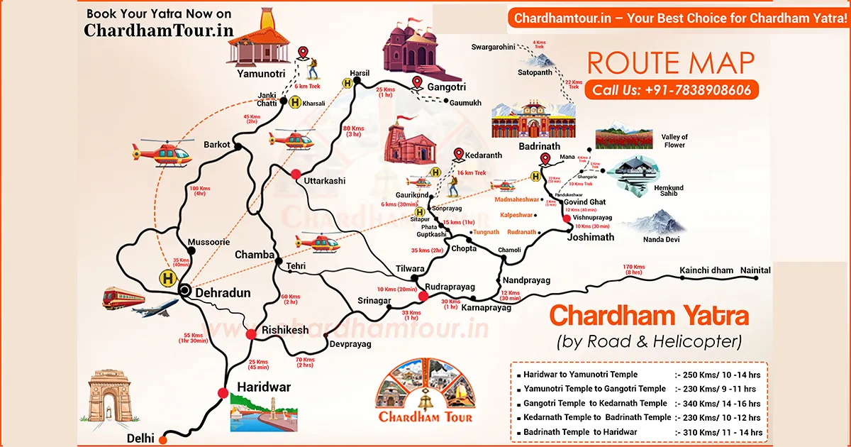
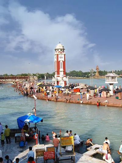
The Chota Char Dham Yatra covers four Himalayan shrines — Yamunotri, Gangotri, Kedarnath, and Badrinath. None of them has a train station or airport at the door. Most pilgrims reach a gateway town first — Haridwar, Rishikesh, or Dehradun — and continue from there by road, trek, or helicopter depending on which Dham they're headed to.
Getting to the Gateway Cities First
There's no single transport mode that drops you at any Char Dham temple directly. Every journey starts the same way: get to Haridwar, Rishikesh, or Dehradun, then continue by road.
By Train
Haridwar and Rishikesh are both connected to Delhi and most major Indian cities by rail. Journey times vary by service, so check current schedules on IRCTC rather than planning around a fixed number of hours. From either station, you switch to a taxi or bus for the mountain leg.
By Flight
Jolly Grant Airport in Dehradun is the nearest airport, with regular domestic flights from Delhi and a few other cities. It's about 21 km to Rishikesh from there — a short hop, but the real journey starts after that, and flying doesn't shorten the mountain drive.
By Road
Delhi to Haridwar runs about 220 km. Travel time depends heavily on traffic, so don't lock in a fixed number of hours for that leg either. A full circuit covering all four Dhams by road typically runs 10–12 days including travel and Darshan time, since the mountain roads are narrow and slow going no matter what you're driving. State transport buses, private AC coaches, and shared taxis all run this route out of Delhi's ISBT Kashmiri Gate and from the Haridwar/Rishikesh bus stands.
By Helicopter
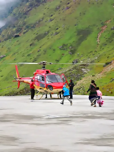
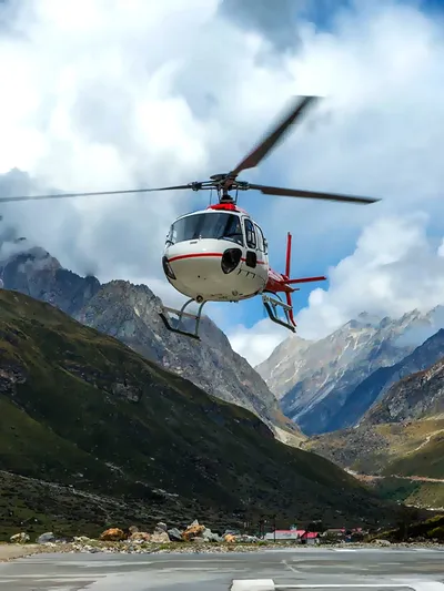
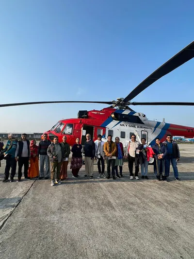
Charter helicopter packages cover Char Dham travel, departing mainly from Dehradun, and there's a separate set of dedicated Kedarnath helicopter services running from Phata, Guptkashi, and Sirsi. These aren't scheduled daily flights in the way a commercial airline is — book ahead, and expect the total transfer time (road to the helipad, check-in, waiting on weather) to run longer than the flight time itself. It remains the practical option for pilgrims who can't manage a long trek or a multi-hour road journey.
Route to Each Dham
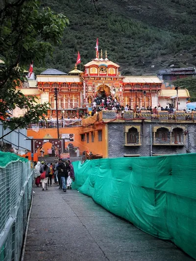
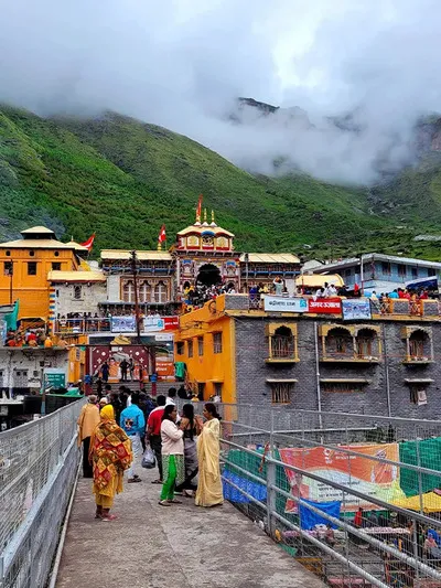
How to Reach Badrinath
Major gateway town: Joshimath
Route: Rishikesh → Devprayag → Srinagar → Rudraprayag → Karnaprayag → Joshimath → Badrinath
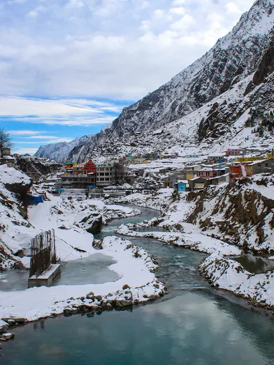
Badrinath sits at 3,133 metres, and a motorable road runs all the way to the temple — no trek required. From Rishikesh, it's approximately 300 km, generally a 10–12 hour drive. Joshimath is the last major town before Badrinath, and the final 45 km stretch runs along the Alaknanda River on a narrow, landslide-prone road. Check current road conditions before that last leg rather than assuming a clear run.
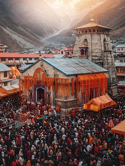
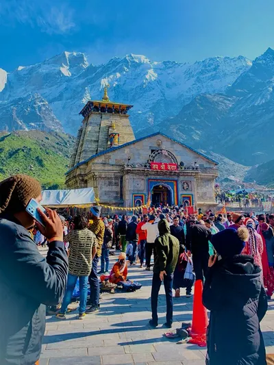
How to Reach Kedarnath
Nearest road-end point: Gaurikund (via Sonprayag)
Route: Rishikesh → Rudraprayag → Sonprayag → Gaurikund → Kedarnath (trek or helicopter)
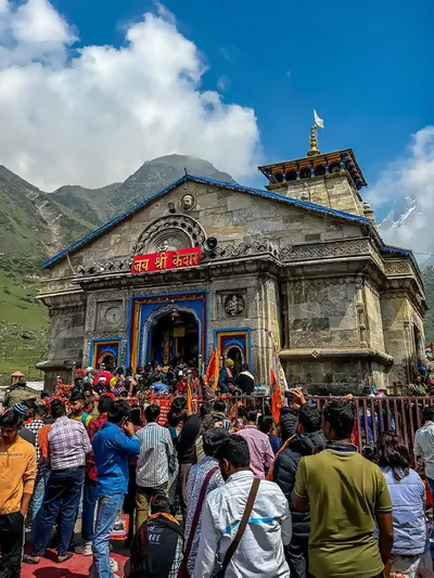
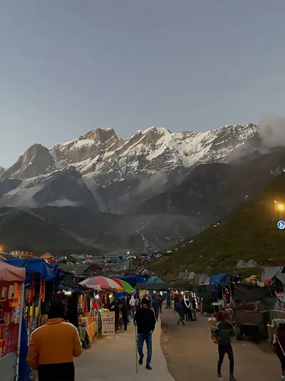
This is the one Dham that genuinely demands physical effort. Kedarnath sits at 3,580 metres. Private vehicles generally proceed only as far as Sonprayag; from there, pilgrims use the locally arranged transport to cover the final stretch to Gaurikund, where the trek actually starts. The trek itself runs about 16 km one way, typically 6 to 8 hours depending on fitness and weather, with a substantial altitude gain built into that distance. Pony, palki, and helicopter alternatives exist for anyone who can't walk it — helicopter services run from Phata, Guptkashi, and Sirsi, though seats fill up well ahead of peak season.
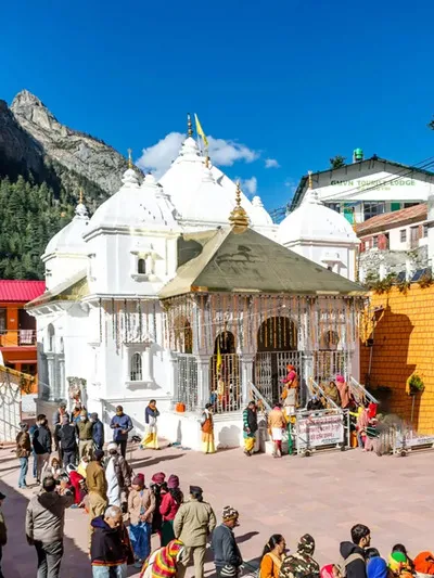
How to Reach Gangotri
Major road hubs: Uttarkashi and Harsil
Route: Rishikesh → Uttarkashi → Harsil → Gangotri
Gangotri is fully road-accessible at 3,100 metres — no trek needed. From Rishikesh it's approximately 270 km, generally a 10–12 hour drive along the Bhagirathi River through Uttarkashi and Harsil. Traffic on the final, narrower stretch from Harsil can be affected by weather or temporary administrative restrictions during peak season, so build in extra time rather than counting on a fixed arrival window.
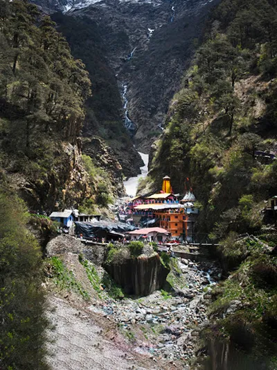
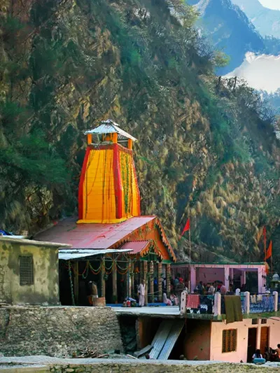
How to Reach Yamunotri
Road-end point: Janki Chatti
Major gateway town: Barkot
Route: Rishikesh → Barkot → Hanuman Chatti → Janki Chatti → Yamunotri (trek)
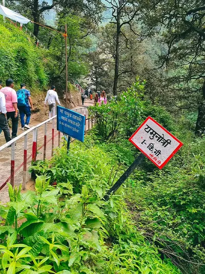
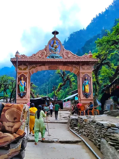
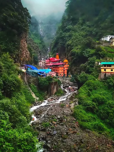
Yamunotri is traditionally the first Dham in the yatra sequence, and it's also where the trekking starts. The road runs to Janki Chatti, roughly 210 km from Rishikesh through Barkot. From there, it's a 5–6 km uphill trek to the temple at 3,293 metres, about 2 to 3 hours at a steady pace, with pony, palki, and doli options at the prepaid counter for anyone who can't walk it.
Distance, Elevation, and Trek at a Glance
| Dham | Elevation | Road Distance from Rishikesh | Final Access |
|---|---|---|---|
| Yamunotri | 3,293 m | ~210 km | Janki Chatti + 5–6 km trek |
| Gangotri | 3,100 m | ~270 km | Road to the temple |
| Kedarnath | 3,580 m | ~220 km | Gaurikund + 16 km trek |
| Badrinath | 3,133 m | ~300 km | Road to the temple |
These are planning figures. Route measurements vary slightly by source and starting point, and actual travel time depends on traffic, weather, and road conditions on the day.
Char Dham Yatra Registration
This is the step that trips up a surprising number of first-time pilgrims: registration is compulsory for all four Dhams, free of charge, and done through the official portal at registrationandtouristcare.uk.gov.in. Carry a valid government-issued ID — Aadhaar, voter ID, driving licence, or passport all work. Once registered, you get a Yatra Registration Letter with a QR code, which gets checked at designated points along the route and at the Dhams themselves — keep both a digital copy and a printed one, since mobile network in the mountains isn't reliable enough to depend on your phone alone. If you're travelling by your own vehicle, it needs to be registered too, through the same system.
Recommendations Before You Travel
- Confirm temple opening and closing dates on the official portal before locking in travel dates — these shift slightly every year.
- Register early. Slots fill up fast for Kedarnath especially, and same-day offline registration isn't guaranteed during peak season.
- Watch the monsoon window (July–August). The yatra doesn't shut down for it, but landslide and road-blockage risk on several stretches is real — check weather and road advisories and build in buffer days rather than skipping the trip outright.
- If you're not used to Himalayan driving, hire a local driver. The roads narrow considerably past the bigger towns, and local drivers know the current conditions and blind spots better than a GPS does.
- Plan for altitude and weather swings, especially for Kedarnath and Yamunotri. Carry warm layers regardless of season, and don't push through symptoms like persistent headache or breathlessness — rest or turn back instead.
- Helicopter or palki is worth considering for anyone with mobility issues. Both treks are genuinely demanding for people who can't manage sustained inclines.
- Track official updates on road conditions and any sudden closures, particularly during monsoon season.
Frequently Asked Questions
Q1. What is the nearest railway station for the Char Dham Yatra?
Haridwar and Rishikesh are the nearest major railheads. From either, you continue by road.
Q2. Do all four Char Dham sites require trekking?
No. Gangotri and Badrinath have direct road access. Yamunotri needs a 5–6 km trek from Janki Chatti, and Kedarnath needs a 16 km trek from Gaurikund — both can be done by pony, palki, or helicopter instead of walking.
Q3. Is helicopter service available for the Char Dham Yatra?
Yes — charter packages cover all four Dhams, and Kedarnath additionally has dedicated helicopter services from Phata, Guptkashi, and Sirsi. These run on a booking basis, not a fixed daily schedule, so confirm current availability before you plan around it.
Q4. Is Char Dham registration mandatory in 2026?
Yes. Every pilgrim needs a valid Yatra Registration Letter, free to obtain at registrationandtouristcare.uk.gov.in with a government ID such as Aadhaar, voter ID, or passport.
Q5. Are private taxis available from Haridwar and Rishikesh?
Yes, plenty, along with buses. Both towns function as the transport hub for the entire yatra.
Q6. Are the mountain roads safe for self-driving?
They're narrow past Rishikesh and get progressively more demanding. A local driver is worth it beyond Uttarkashi or Rudraprayag if you're not used to Himalayan roads.
Q7. What's the best time to travel to avoid road disruption?
May–June and September–October are generally the more stable windows. July–August monsoon carries real landslide risk on several stretches.
Q8. Can senior citizens complete the Char Dham Yatra?
Many do, especially with pony, palki, or helicopter options for the Kedarnath and Yamunotri treks. A medical check-up before travel is worth doing given the altitude involved.
Conclusion
Every route to Char Dham runs through a gateway first — most often Haridwar, Rishikesh, or Dehradun — and from there the four shrines split into two different experiences. Gangotri and Badrinath are a road trip with no walking required. Yamunotri and Kedarnath ask for a real trek or a helicopter booking, and the distance numbers alone undersell how much the altitude gain adds to the effort. Registration is the step people underestimate most, so get that sorted before anything else. Past that, it's a matter of season, transport mode, and building enough slack into the schedule for mountain roads that don't run on a fixed clock.
Chardham Travel Guide
Chardham Travel Packages
Hotels in Chardham
Beware of Fake Char Dham & Kedarnath Helicopter Booking Websites
Fake websites, WhatsApp accounts and advertisements may impersonate genuine travel companies or helicopter operators. Always verify before paying.