Yamunotri Geographical Features

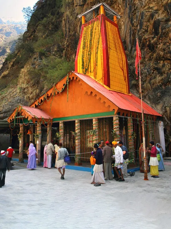
Yamunotri sits at an altitude commonly reported as about 3,293 metres in the Garhwal Himalayas, on a flank of the Bandarpoonch massif in Uttarkashi district — though official Uttarakhand Tourism pages themselves list slightly different figures (around 3,233–3,293 m), so treat this as an approximate elevation rather than a fixed measurement. The geography here is rugged by design — steep valleys, glacier-fed streams, and terrain that shifts from forest to alpine meadow with altitude — and that shapes almost everything about visiting the shrine.
Quick Answer
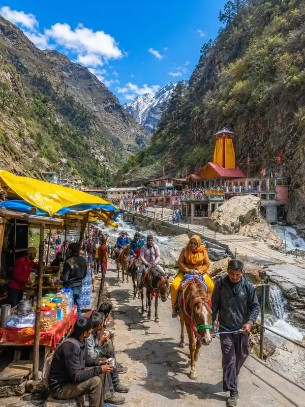
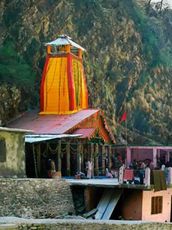
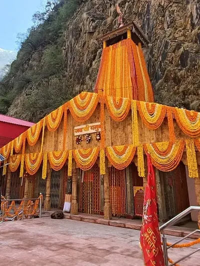
Yamunotri Temple stands at roughly 3,293 m, below the Bandarpoonch mountain range, marking the accessible edge of the Yamuna's source region. Janki Chatti is the current motorable roadhead; from there, pilgrims cover the final stretch — commonly given as roughly 5–6 km, though sources vary — on foot, pony, or palki.
Yamunotri Temple stands at roughly 3,293 m, below the Bandarpoonch mountain range, marking the accessible edge of the Yamuna's source region. Janki Chatti is the current motorable roadhead; from there, pilgrims cover the final stretch — commonly given as roughly 5–6 km, though sources vary — on foot, pony, or palki.
Terrain and Location
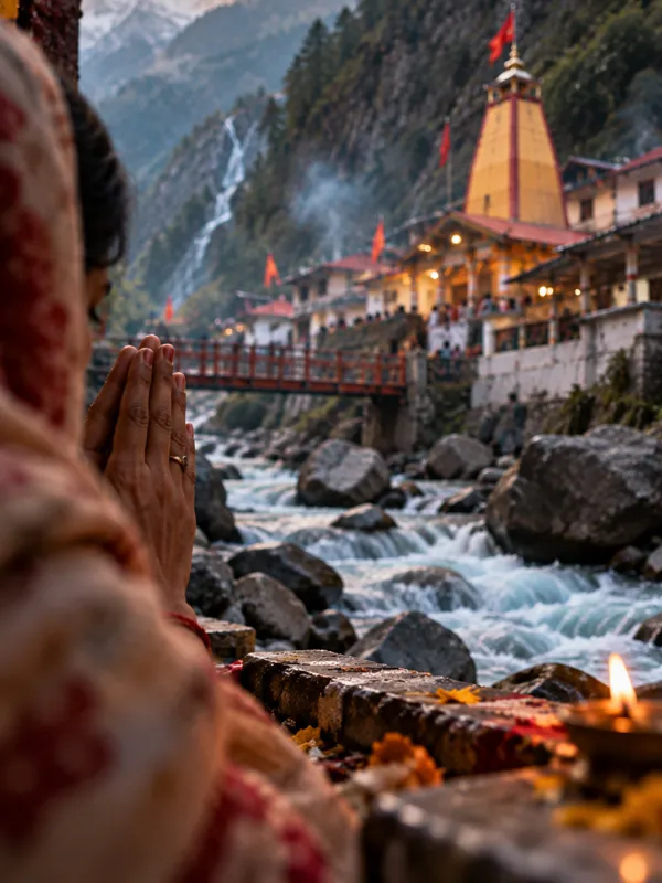
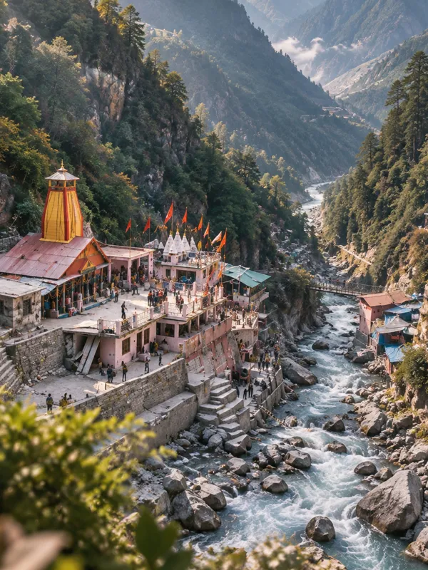
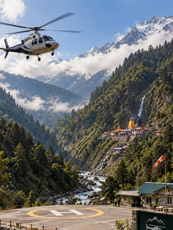
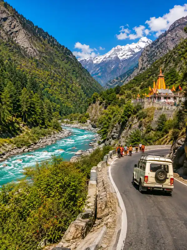
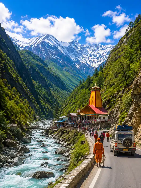
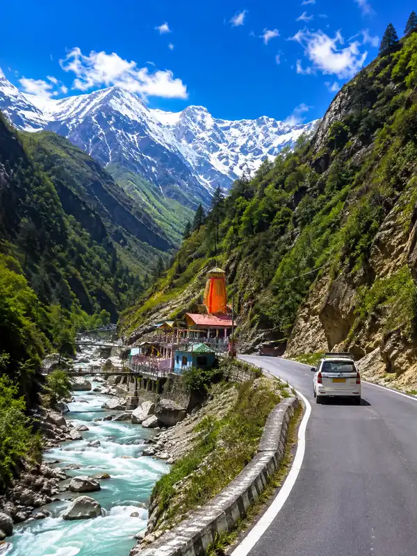
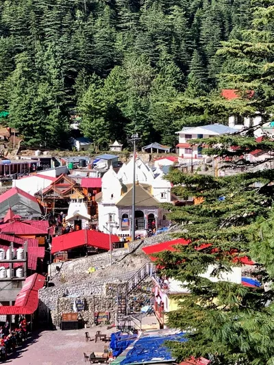
The temple sits in a narrow gorge carved by the Yamuna, hemmed in by steep, forested slopes that rise sharply toward the Bandarpoonch massif. This terrain is why no road reaches the shrine itself — the final approach from Janki Chatti is walked, on pony, or by palki, gaining noticeable elevation over a short distance.
Flora and Fauna
Uttarkashi district as a whole has extensive forest cover, with official district figures citing a 60–80% range. Around Yamunotri specifically, vegetation shifts with elevation — coniferous, oak, and deodar forest at lower altitudes giving way to alpine meadows and wildflowers, including blue poppy and several shades of rhododendron, as you climb higher.
The wider Himalayan landscape of this region — spanning Uttarkashi's forests and the Govind Wildlife Sanctuary area nearby — supports species such as musk deer, blue sheep (bharal), common leopard, Himalayan Monal, and Cheer pheasant, though these are regional rather than confirmed sightings right at the temple.
Source of the Yamuna
The Yamuna's actual source, per Uttarakhand Tourism, is Saptarishi Kund — a glacial lake at about 4,421 m, fed by the Champasar Glacier higher up in the Bandarpoonch range. It lies roughly 10 km beyond the main temple, reachable only via a genuinely demanding high-altitude trek best left to experienced trekkers or mountaineers rather than regular pilgrims. Yamunotri Temple itself marks the last easily accessible point on the river; from here, the Yamuna flows on for roughly 1,376 km before eventually leaving the hills for the plains.
Bandarpoonch Parvat
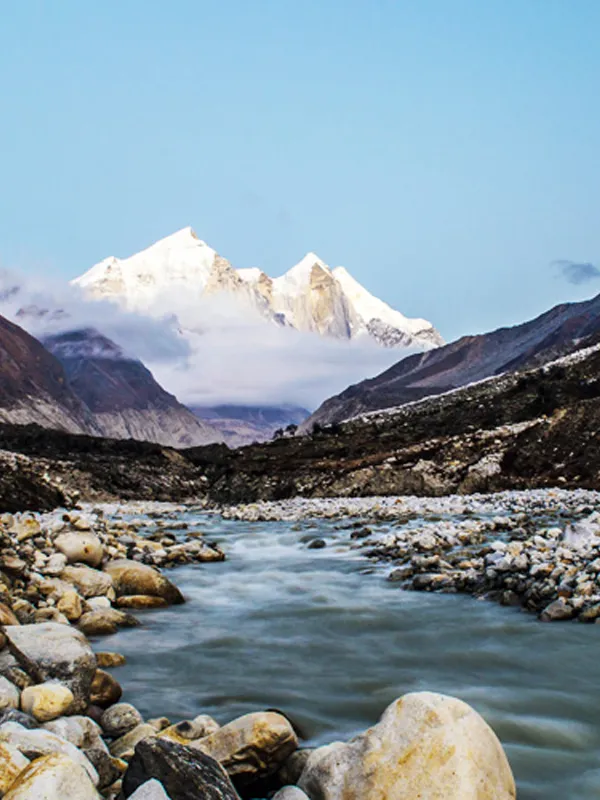
Bandarpoonch — literally "monkey's tail" — is the mountain massif towering over Yamunotri; its main peak, Bandarpoonch I, rises to about 6,316 m. According to legend, Hanuman came here to douse his burning tail after setting Lanka ablaze, giving the peak its name. The massif lies near the western edge of the High Himalayan range in Uttarakhand, close to the Govind Wildlife Sanctuary.
Environmental Concerns
Rising pilgrim traffic and related road construction have put visible pressure on this fragile landscape, and in a 2017 proceeding, the Uttarakhand High Court specifically flagged the Yamunotri glacier as shrinking at an alarming rate — consistent with the broader, well-documented retreat seen across Himalayan glaciers since. Responsible visitation — sticking to marked trails and minimising waste — matters in this kind of high-altitude environment.
FAQs
Q1. What is the altitude of Yamunotri?
Approximately 3,293 metres above sea level.
Q2. Which mountain overlooks Yamunotri?
Bandarpoonch Parvat, whose main peak rises to 6,316 m.
Q3. Where does the Yamuna River actually originate?
Uttarakhand Tourism identifies Saptarishi Kund (4,421 m), fed by Champasar Glacier, as the actual source — roughly 10 km beyond the temple, not accessible to regular pilgrims.
Q4. What kind of forest surrounds Yamunotri?
Mixed coniferous, oak, and deodar forest at lower elevations, giving way to alpine meadows higher up.
Q5. Is the Yamunotri glacier shrinking?
Earlier government and court records have flagged recession in this region, consistent with the broader, well-documented Himalayan glacier retreat driven by climate change.
Conclusion
Yamunotri's geography — high altitude, glacial headwaters, and terrain that shifts from forest to alpine meadow — is what gives the pilgrimage its raw, untouched character. Understanding this before you go makes the final trek from Janki Chatti far easier to plan for.
Suggested Tour: Yamunotri Yatra Packages
Yamunotri Travel Guide


Yamunotri Travel Packages


Important Safety Notice
Beware of Fake Char Dham & Kedarnath Helicopter Booking Websites
Fake websites, WhatsApp accounts and advertisements may impersonate genuine travel companies or helicopter operators. Always verify before paying.