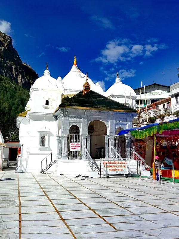
Gangotri to Gomukh Trek Guide
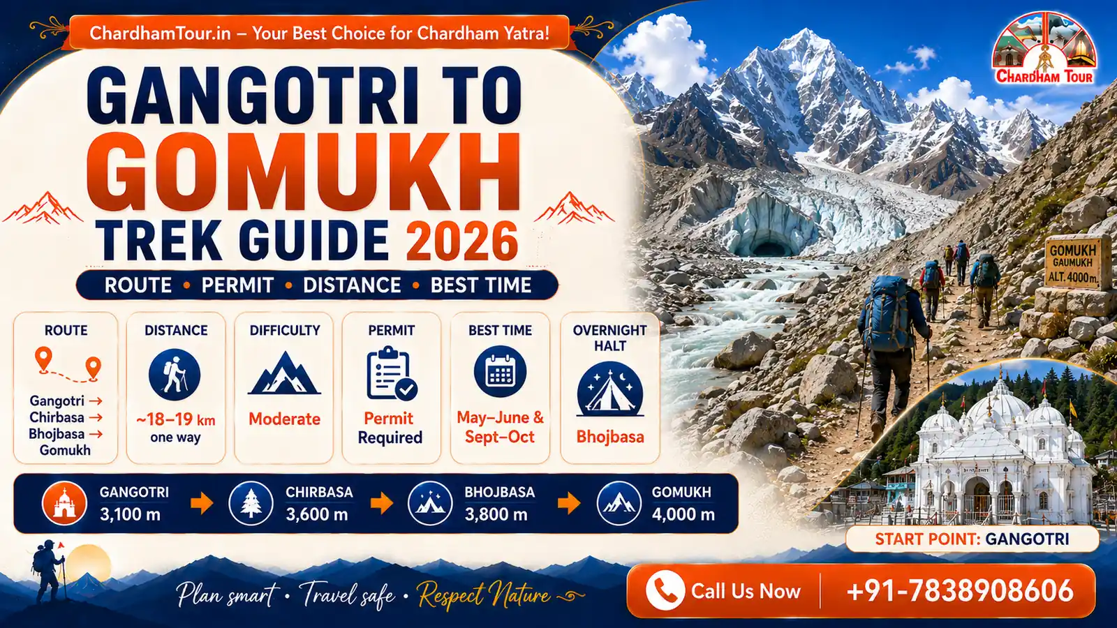
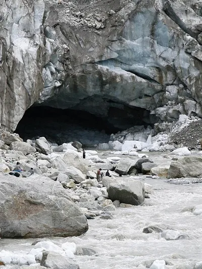
Gomukh (also spelled Gaumukh) is the snout of the Gangotri Glacier — the glacial source of the Bhagirathi River, one of the primary headstreams of the Ganga. The trek there from Gangotri is short by Himalayan standards, roughly 17–19 km one way depending on which official source you check, but it's inside a protected national park with rules that changed meaningfully in 2024. If you're researching this trek using older blog posts, some of what you read may already be outdated — this guide focuses on what's actually current for the 2026 season.
Quick Answer: The Gangotri to Gomukh trek is approximately 17–19 km one way — the Uttarkashi District Administration's current page lists 17 km, while other official Uttarakhand sources list up to 19 km, and a detailed route breakdown (14 km to Bhojbasa + roughly 4 km on to Gaumukh) works out to about 18 km. Altitude gain is roughly 900 m, from Gangotri (~3,100 m) to Gaumukh (4,023 m, independently confirmed). A forest permit is mandatory. Several current sources also report a registered guide, trek insurance, and medical fitness certificate as mandatory since September 2024, though this specific rule wasn't confirmable against an official notification in this research — confirm directly with the Forest Department before you travel. Many trekkers plan 2–3 days for Gaumukh alone, or 5–7 days if extending to Tapovan.
Route Overview
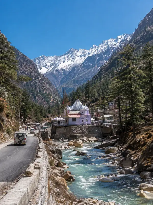
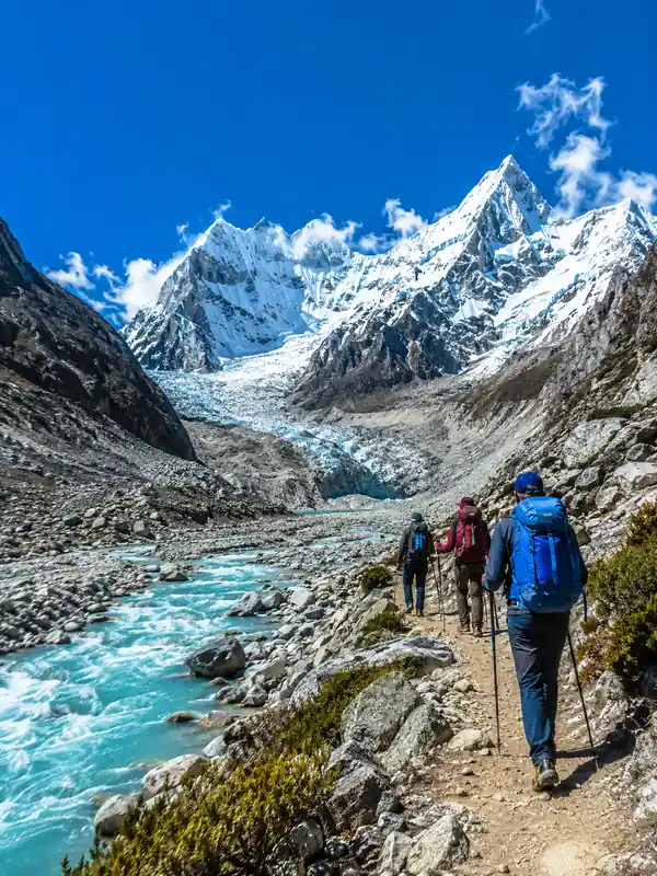
The trail follows the Bhagirathi river upstream through pine and birch forest before opening into moraine and high-altitude terrain near the glacier. The standard route breaks into three stages:
| Stop | Distance from Gangotri | Approx. Altitude |
|---|---|---|
| Gangotri (start) | 0 km | ~3,100 m* |
| Chirbasa | ~9 km | ~3,400 m |
| Bhojbasa (overnight halt) | ~14 km | ~3,800 m |
| Gaumukh (glacier snout) | ~17–19 km | 4,023 m (13,200 ft) |
| Tapovan (extension) | ~22–24 km | ~4,460–4,463 m |
*Official Uttarakhand sources publish varying elevations for Gangotri itself (commonly 3,000–3,415 m depending on the page) — 3,100 m is the figure used by the state's Char Dham registration portal.
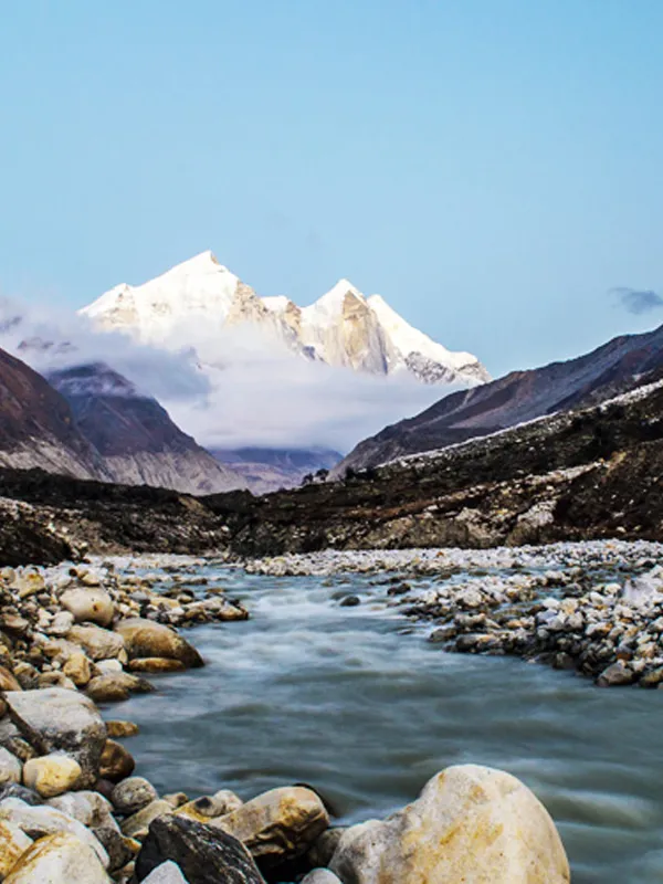
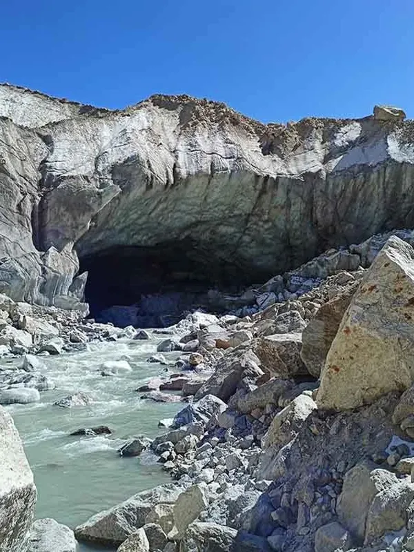
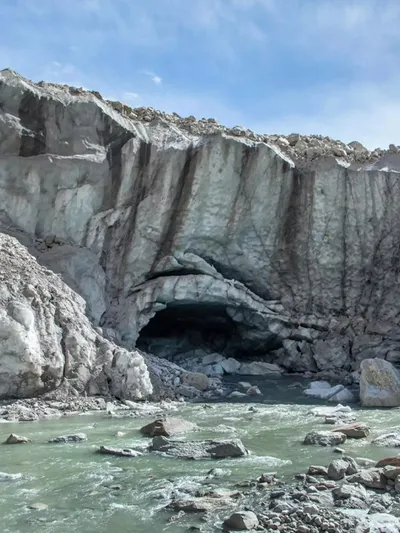
Chirbasa is a forested rest point roughly halfway to Bhojbasa, with deodar trees giving way to more open terrain as you climb. Bhojbasa is the most common overnight stop for trekking groups — it's also roughly where the tree line ends and the trail starts to feel genuinely remote. From Bhojbasa, the final stretch to Gaumukh crosses open moraine and rocky ground; the last approach to the glacier itself isn't a clearly defined path but a walk across unstable terminal moraine leading to the ice wall of the snout.
Extending to Tapovan
Many trekkers continue past Gaumukh to Tapovan, a high-altitude meadow at roughly 4,460–4,463 m with close-up views of Mount Shivling and the Bhagirathi peaks. This adds roughly another 5–6 km beyond Gaumukh and typically involves a technical river crossing near the glacier — exact crossing arrangements (some sources describe a rope-and-trolley system) can depend on current route and glacier conditions, so treat this as a noticeably more demanding stretch than the Gangotri-to-Gaumukh trail itself, not a fixed operational detail. Extending to Tapovan currently requires an extended permit and a guide — this specific requirement (guide mandatory for Tapovan) is the one part of the guide-requirement picture that current official Uttarakhand Tourism material does clearly confirm, even where the base Gaumukh-only requirement is less certain (see below).
Suggested Tour: Gangotri Gaumukh Yatra Package
What's Changed in Recent Years
This is worth separating carefully, because it's the part of this trek's rules where secondary sources are more confident than what I could independently confirm.
Clearly confirmed by current official Uttarakhand Tourism material:
- A forest permit is required for Gaumukh, since the route runs through Gangotri National Park.
- Entry is capped at 150 trekkers per day.
- A guide is mandatory for the Tapovan extension specifically, and should be declared when applying for that permit.
Widely reported by current (2026) trekking-operator and permit-guide sources, but not something I could confirm against an official gazette notification:
- That since September 2024, a registered guide, trek insurance, and a medical fitness certificate have become mandatory for every trekker on the base Gangotri-to-Gaumukh route, not just the Tapovan extension.
- That independent, unguided trekking on the Gaumukh-only route is now prohibited outright.
Multiple secondary sources agree with each other on this point, which makes it plausible — but because it's the single most access-critical claim in this whole guide (get it wrong and you could show up without a required guide, or over-prepare for a requirement that only applies to Tapovan), confirm the current rule directly with the DFO office in Uttarkashi or the Gangotri forest checkpost before you travel, rather than relying on this article or any other secondary source alone.
If you've read an older guide that describes simply picking up a permit and walking the Gaumukh trail solo, treat that as at least worth double-checking — regulations in this park have tightened over the past few years, even if the exact current scope (Tapovan-only vs. the whole route) isn't fully pinned down here.
Permit: How to Actually Get One
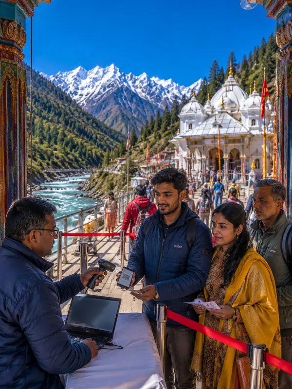
Gaumukh sits inside Gangotri National Park, so entry requires a forest permit regardless of whether you're doing the short Gaumukh trek or extending to Tapovan.
Where to apply:
- Online — the current portal is referred to differently across sources; official Uttarakhand Tourism material points to the Uttarkashi Online Single Window System, while some 2026 coverage refers to a "Pathik" portal. Confirm the correct current link with the Uttarkashi Forest Office before applying.
- In person at the Forest Office in Gangotri, or the DFO (District Forest Officer) office in Uttarkashi
What you'll typically need:
- Government-issued photo ID for every member of the group
- A guide is confirmed mandatory if you're extending to Tapovan; whether it's required for the Gaumukh-only route is less certain (see above) — check current requirements when applying
- Trek insurance and a medical fitness certificate are reported as requirements by several current sources, though not independently confirmed here
- Permit fee: some current sources cite around ₹150 per person for Indian nationals and ₹600 for foreign nationals — treat this as indicative rather than confirmed, and check the current fee at the time of application
Validity: Some sources describe permits as valid for 2 days, extendable if continuing to Tapovan — confirm current validity when applying, as this wasn't independently verifiable in this research.
Daily cap: The Uttarakhand Forest Department currently caps entries at 150 trekkers per day on the Gaumukh trail, to protect the fragile glacier ecosystem. If you've seen an older figure of "100 per day" quoted elsewhere, that's stale — 150 is the current cap. Because of this cap, permits can genuinely run out during the May–June peak window, so applying a few weeks ahead is sensible rather than assuming a permit will be available on arrival.
Apply well in advance if you're travelling in peak season — some current guides recommend starting the process 4–6 weeks ahead and building 1–2 buffer days into your itinerary in case of weather-related permit suspensions.
Difficulty and Fitness: What to Actually Expect
The Gangotri-to-Gaumukh trek is described anywhere from easy-to-moderate to moderate-to-difficult depending on the source — official Uttarakhand Tourism material describes it as "moderately challenging," which is a reasonable middle ground between the more casual and more cautious ratings you'll see elsewhere. Two things explain the spread more than the distance alone:
- Altitude. You're gaining roughly 900 m over the trek, finishing above 4,000 m, which is high enough that altitude discomfort is a real possibility even for otherwise fit trekkers.
- Terrain underfoot. The final stretch near the glacier crosses loose, unstable moraine rather than a maintained trail — this is where most minor injuries and slower progress happen, not on the earlier forested sections.
Some official Uttarakhand Tourism material describes the Gaumukh trek as achievable as a long single-day push (reportedly around 10 hours) for fit, acclimatized trekkers. That said, most travellers still prefer a 2–3 day itinerary with an overnight halt at Bhojbasa, both for a less rushed pace and better acclimatization — treat the one-day option as possible rather than advisable for most people.
If you're extending to Tapovan, treat that stretch as moderate-to-difficult: it involves a technical river crossing near the glacier and sustained high-altitude walking above 4,300 m.
A slower pace, proper acclimatization, and not rushing the final approach matter more here than raw fitness alone.
Where to Stay: Bhojbasa and the Overnight Halt
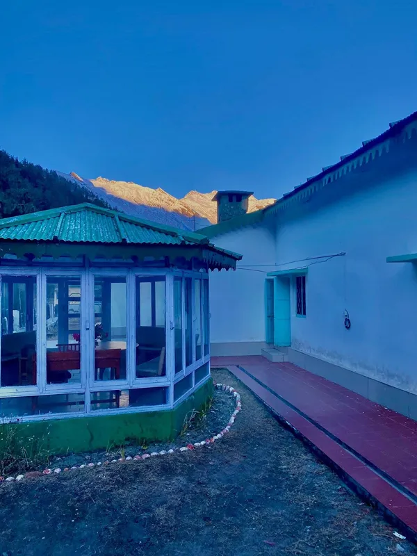
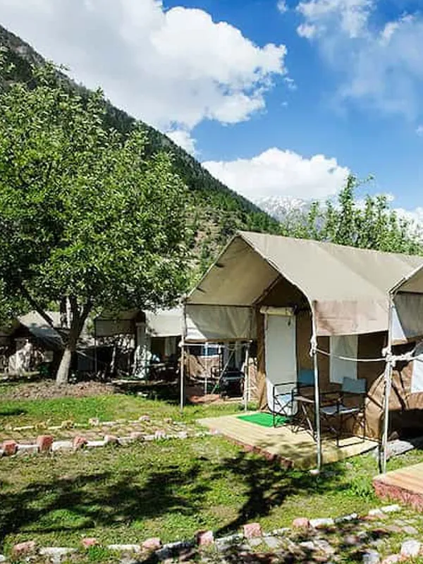
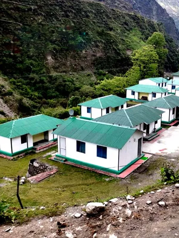
Bhojbasa is the most common overnight stop for Gaumukh trekkers, roughly 14 km in from Gangotri. Accommodation here is basic by design — this is inside a national park, not a town — typically GMVN-run rest house rooms or ashram-style stays, supplemented by trekking-agency tent camps for guided groups. Camping and access rules near the glacier itself are controlled by park authorities, which is another reason Bhojbasa functions as the standard overnight point for both the outbound and return legs of the trek.
Don't expect hotel-level comfort or amenities at Bhojbasa — pack accordingly (see the packing section below), and confirm with your guide/agency in advance exactly what's provided versus what you need to bring yourself.
Best Time for the Gangotri to Gomukh Trek
Gangotri National Park's practical trekking season generally runs April to October, per official Uttarakhand Tourism guidance. Some current coverage reports a specific annual closure from 30 November to 31 March with reopening on 1 April — but this exact date range wasn't independently confirmed against an official notification, so treat it as a general seasonal pattern rather than a fixed rule. Regardless of the exact reopening date, the park being formally open doesn't mean Gaumukh is immediately walkable — the high-altitude routes, including Gaumukh and nearby Kedartal, commonly remain partially snow-covered and inaccessible for additional weeks into the season. In practice, this means:
| Window | Conditions |
|---|---|
| April – early/mid-May | Park season may be underway, but Gaumukh and Kedartal routes can still be snow-covered and effectively closed — check current trail status rather than assuming access from the season's start date alone |
| Mid-May to June | The main trekking season, once the upper trail clears — this is when most trekking agencies actually schedule Gaumukh departures |
| July–August | Monsoon — avoid. Higher risk of landslides, rockfall, and swollen streams; upper-route conditions can also become hazardous |
| September to mid-October | A second good window, generally with clearer skies |
| Late October onward | Trekking season winds down ahead of the park's winter closure |
If you have flexibility, September can offer a quieter experience than peak May–June dates, depending on demand and weather.
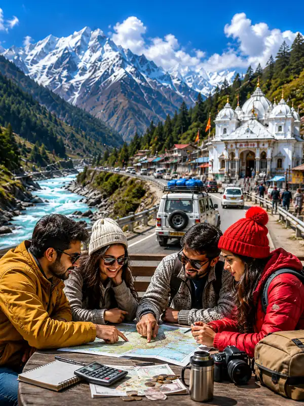
Step-by-Step: Planning the Trek
- Arrange a guide. Mandatory for Tapovan; check current requirements if you're doing Gaumukh only, since this is one area where sources disagree (see above).
- Arrange trek insurance and a medical fitness certificate if required — several current sources describe these as part of the permit process; confirm when applying.
- Apply for your forest permit online (confirm the current portal name and link with the Uttarkashi Forest Office — sources differ) or in person at Gangotri/Uttarkashi, ideally weeks ahead during peak season given the 150/day cap.
- Plan for 2–3 days if you're doing Gaumukh only (in: Bhojbasa, up to Gaumukh and back to Bhojbasa, out: back to Gangotri) — don't try to compress this into a rushed single push unless you're an experienced, acclimatized trekker.
- Pack assuming unreliable mobile connectivity beyond the Gangotri forest checkpost — carry physical copies of your permit, ID, and insurance documents.
- Acclimatize before pushing to Gaumukh — spend your first night at Bhojbasa rather than attempting to reach the glacier and return the same day.
- Budget buffer days into your trip in case of weather-related permit suspensions, especially in shoulder-season windows.
What to Pack
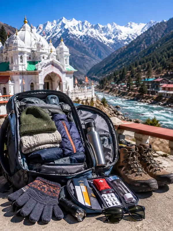
- Layered warm clothing — temperatures at Bhojbasa and Gaumukh drop sharply even when Gangotri itself feels mild
- Sturdy trekking boots with good ankle support and grip, given the loose moraine near the glacier
- A basic personal first-aid kit and any regular medication — there's no pharmacy access once you're past the checkpost
- Physical printed copies of your permit, ID, and insurance documents — not just phone photos, since there's no connectivity to pull them up if needed
- A headlamp or torch, water purification tablets or a filter, and high-energy snacks
- Sun protection — UV exposure is stronger at altitude even on cool days
Beyond the Trek: Why This Route Matters
Gaumukh isn't just a trekking destination — it sits within Gangotri National Park, a protected high-altitude area whose official size is published inconsistently across government sources (figures ranging from roughly 1,550 to 2,390 sq km appear on different official pages), so no single area figure is used here. The wider Bhagirathi Eco-Sensitive Zone is a separate, larger buffer designation notified by the Ministry of Environment, Forests and Climate Change in December 2012. The park is a habitat for species including snow leopard, blue sheep (bharal), and Himalayan tahr. The Gangotri Glacier has also been retreating significantly over recent decades, as documented by scientific studies — the area's fragile high-altitude ecosystem and the safety demands of high-altitude travel are both part of why access here is regulated, alongside the daily entry cap.
Conclusion
The Gangotri to Gomukh trek covers roughly 17–19 km one way to reach one of the most spiritually significant sites on the Char Dham circuit — the glacial source of the river that becomes the Ganga. Regulation here has genuinely tightened in recent years: a permit and the 150-trekkers-a-day cap are firmly confirmed, a guide is confirmed mandatory for the Tapovan extension, and several sources report the same requirement now extends to the base Gaumukh route too — worth confirming directly before you go. Plan for 2–3 days, sort your permit well ahead of peak season, and this remains one of the most rewarding short treks in the Indian Himalayas.
FAQs
Q1. What is the distance from Gangotri to Gomukh?
Approximately 17–19 km one way — the Uttarkashi District Administration's page lists 17 km, other official sources list up to 19 km, and a detailed route breakdown (14 km to Bhojbasa + roughly 4 km more) works out to around 18 km. A same-route return adds up to roughly 34–38 km depending on which figure you use.
Q2. Is a guide mandatory for the Gaumukh trek?
Confirmed mandatory if you're extending to Tapovan. For the base Gaumukh-only route, several current sources report that a guide, trek insurance, and a medical fitness certificate became mandatory in September 2024, but this wasn't confirmable against an official notification — check current requirements directly with the DFO office before you travel.
Q3. How do I get a Gangotri National Park permit for the Gaumukh trek?
Apply online — official Uttarakhand Tourism material points to the Uttarkashi Online Single Window System, though some current coverage names a "Pathik" portal instead, so confirm the correct current link with the Uttarkashi Forest Office — or in person at the Forest Office in Gangotri or the DFO office in Uttarkashi. Fee and validity figures circulate (commonly cited around ₹150/₹600 for Indian/foreign nationals, valid 2 days) but weren't independently confirmed here — check current figures when applying.
Q4. How many trekkers are allowed on the Gaumukh trail per day?
The current cap is 150 trekkers per day. Some older sources quote 100 per day — that figure is outdated.
Q5. How difficult is the Gangotri to Gaumukh trek?
Official Uttarakhand Tourism material describes it as "moderately challenging"; other sources range from easy-to-moderate to moderate-to-difficult. The altitude gain (finishing above 4,000 m) and unstable moraine terrain near the glacier make it more demanding than the km count alone suggests.
Q6. Can I do the Gaumukh trek in one day?
Some official Uttarakhand Tourism material describes it as achievable in a single long day (reportedly around 10 hours) for fit, acclimatized trekkers. That said, most travellers prefer a 2–3 day itinerary with an overnight halt at Bhojbasa, both for a less rushed pace and better acclimatization.
Q7. What is the best time to trek from Gangotri to Gomukh?
Mid-May to June, and again from September to mid-October, are the two main windows. July–August (monsoon) carries higher landslide risk and is best avoided. The park's practical season generally runs April–October, though Gaumukh itself can stay snow-covered and inaccessible for weeks into that window depending on the year.
Q8. Is there mobile network on the trek?
Coverage is unreliable to unavailable on the upper sections, particularly beyond the Gangotri forest checkpost — carry physical copies of your documents rather than relying on your phone.
Q9. Can I extend the trek to Tapovan?
Yes, adding roughly 5–6 km beyond Gaumukh to reach Tapovan at around 4,460–4,463 m. This requires an extended permit and a guide (confirmed mandatory for this stretch), plus a technical river crossing near the glacier — treat it as a separate, harder undertaking rather than a simple add-on.
Q10. Where do trekkers stay overnight?
Bhojbasa, about 14 km from Gangotri, is the standard overnight halt for both directions of the trek. Camping and access rules near the glacier itself are controlled by park authorities.
Q11. How much does a registered guide cost?
Guide charges are commonly cited around ₹2,000 per day through organizations like the Nanda Devi Institute, with the guide's food and stay typically billed separately — confirm current rates directly with your chosen agency.
Q12. Why is Gaumukh trek regulation so strict?
The trek passes through Gangotri National Park and the Bhagirathi Eco-Sensitive Zone, a fragile high-altitude ecosystem and habitat for species like snow leopard and blue sheep. The glacier has also retreated significantly over recent decades. These environmental and safety factors are among the reasons access here is regulated, alongside the daily entry cap.
Gangotri Travel Guide



Gangotri Travel Packages
Important Safety Notice
Beware of Fake Char Dham & Kedarnath Helicopter Booking Websites
Fake websites, WhatsApp accounts and advertisements may impersonate genuine travel companies or helicopter operators. Always verify before paying.