Adi Kailash Weather Guide 2026: Best Month, Temperature, Snowfall & Packing Tips
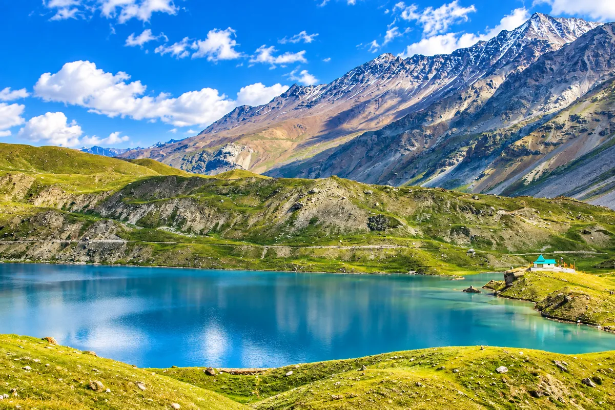
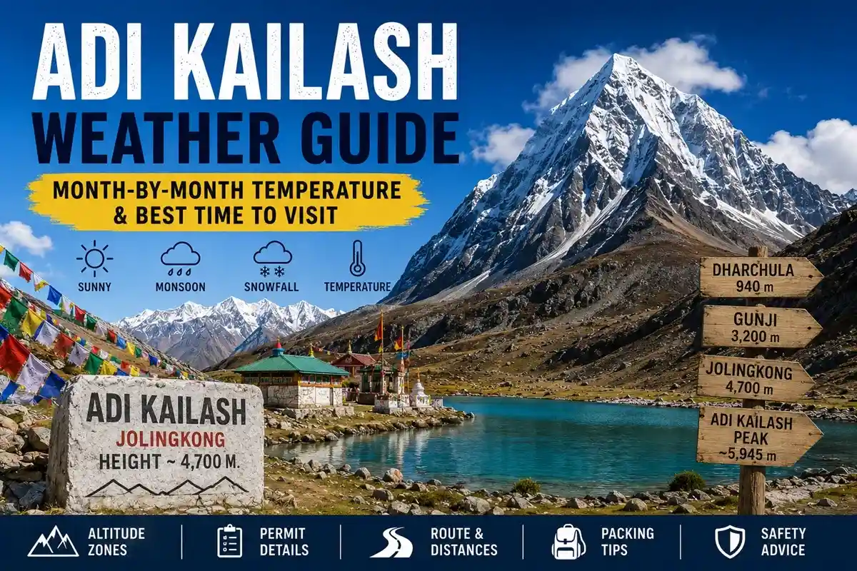
If you’re planning this sacred journey, understanding Adi Kailash weather should be your very first step — here, the weather decides everything. Adi Kailash (Chhota Kailash) stands in the Pithoragarh district of Uttarakhand, near the India-Tibet border. Most sources report the peak’s elevation between roughly 5,945 m and 6,191 m, though pilgrims don’t climb it. Darshan happens from Jolingkong (approx. 4,400–4,600 m), near Parvati Sarovar, where the Adi Kailash temperature drops below freezing at night even in June.
Time it wrong, and you risk landslides on the Dharchula–Gunji road or a suspended permit. Time it right, and you may see Adi Kailash and Om Parvat under crystal-clear skies — a darshan pilgrims remember for life.
Quick Answer:
- Best time: May–June and September to mid-October
- Temperature: Roughly 5°C to 15°C by day; sub-zero nights at Jolingkong
- Avoid: July–August (monsoon landslides) and November–April (snowbound, route closed)
- Why: Stable roads, clear skies, and active BRO/ITBP support during the two open windows
Why Is Adi Kailash Weather So Extreme?
The region is a high-altitude cold zone above the tree line. Weather conditions at Adi Kailash can flip within hours — a clear morning at Jolingkong can turn to afternoon snow even in summer.
Three factors drive this Himalayan climate:
- Altitude: The route climbs from Dharchula (~940 m) to Gunji (~3,200 m) to Jolingkong (~4,400–4,600 m). Temperature falls roughly 6°C per 1,000 m.
- Border geography: The Vyas Valley funnels icy winds from the Tibetan plateau. Afternoons turn windy; nights turn bitter.
- Monsoon exposure: The lower Kali valley (Tawaghat–Budhi) is a documented landslide zone during July–August rains.
Local drivers usually recommend leaving before 6 AM. Shooting-stone zones near Malpa stay calmest early, and peaks are usually clearest before clouds build around 11 AM.
Month-by-Month Adi Kailash Temperature & Conditions
May – June: Peak Season
The yatra season typically opens in May, once the Border Roads Organisation (BRO) clears snow from the Gunji–Jolingkong stretch. Days at Gunji generally run 10–15°C; Jolingkong nights hover around -2°C to 2°C.
Snow patches often linger near Parvati Sarovar — honestly, it makes the darshan even more striking. Book early for the May–June rush; KMVN rest houses and homestays at Gunji and Nabi fill up weeks ahead.
July – August: Monsoon (Avoid)
Rainfall hits the lower valley hard. Road conditions near Tawaghat, Malpa, and Budhi deteriorate fast, and landslides can block the route for days. The administration often pauses Inner Line Permits after heavy spells. Most reputable operators suspend departures. Skip the monsoon.
September – Mid-October: The Clear-Sky Window
Many experienced yatris rate this the best month for Adi Kailash Yatra. Post-monsoon air usually offers the clearest visibility of the year — the snow-formed “ॐ” on Om Parvat, viewed from Nabhidhang (~4,300 m), typically appears sharpest now.
Days run about 5–12°C; Jolingkong nights can approach -5°C. Crowds thin after June, and photographers love the October light. Snowfall usually returns by mid-October, closing the season.
November – April: Closed
Heavy snowfall cuts off everything beyond Gunji, and temperatures can fall below -15°C. Tourist permits are generally not issued in winter. Do not plan a winter attempt.
Adi Kailash Temperature Chart (Approximate)
| Location | Altitude (approx.) | May–Jun (Day/Night) | Sep–Oct (Day/Night) | Monsoon Risk |
| Dharchula | 940 m | 25°C / 15°C | 22°C / 13°C | High (landslides) |
| Gunji | 3,200 m | 12°C / 2°C | 10°C / 0°C | Moderate |
| Nabhidhang (Om Parvat view) | 4,300 m | 8°C / -2°C | 6°C / -4°C | Low |
| Jolingkong (darshan point) | 4,400–4,600 m | 7°C / -2°C | 5°C / -5°C | Low |
Note: No official IMD weather station operates at Jolingkong; figures are field estimates from operators and pilgrims. Check a current forecast for Dharchula/Pithoragarh before travel.
Best Month by Traveller Type
| Traveller | Best Window | Why |
| Senior citizens | September | Dry air, stable roads, thinner crowds |
| Photographers | Late Sep–Oct | Sharpest Om Parvat visibility |
| Snow lovers | May–early June | Lingering snowfields at Parvati Sarovar |
| Families | May–June | Warmer days, full services running |
| Budget travellers | September | Better availability, fewer surge prices |
How Weather Affects Route & Permits
The standard route runs Kathgodam/Tanakpur → Pithoragarh → Dharchula → Gunji → Jolingkong. In normal operating conditions, the BRO road is motorable almost to Jolingkong; only a short 1–2 km walk remains to Parvati Sarovar. After landslides, however, vehicles may halt earlier — keep two buffer days. That’s the most repeated advice from Dharchula operators.
Permits and weather are linked. Every pilgrim needs an Inner Line Permit (ILP) issued via SDM Dharchula, with ITBP checkposts verifying it en route. Key points:
- The yatra is open to Indian citizens; foreign nationals are generally not eligible under normal yatra rules.
- Carry Aadhaar/valid ID, passport photos, and a medical fitness certificate.
- Online pre-registration is available on Uttarakhand’s tourist registration portal, but physical verification at Dharchula remains compulsory.
- Age and medical rules can change yearly — confirm the current SDM Dharchula/KMVN notification before booking.
- Permits pause during landslide or heavy-rain alerts, and screening tightens in bad weather.
Helicopter option: Limited helicopter services may operate from Pithoragarh during the season, subject to government approval and weather. Flights are the first casualty of clouds, so always keep a road backup.
Season-Wise Packing List
- May–June: Thermals, fleece plus down jacket, waterproof shoes, UV sunglasses (snow glare is harsh), SPF 50 sunscreen, cap, gloves, lip balm.
- September–October: All of the above plus heavier insulation for sub-zero nights, insulated bottle, hand warmers.
- Every season: Rain poncho, personal medicines, doctor-advised altitude medication, power bank, ORS, and cash — no ATMs beyond Dharchula.
Tips for Senior Citizens & Families
Senior citizens should prefer September and carry recent ECG/BP reports for the medical check. Add an extra acclimatisation night at Gunji. Families usually choose the vehicle-based itinerary, which keeps walking minimal.
Darshan happens above 4,300 m, so watch everyone for AMS symptoms — headache, nausea, breathlessness — and descend immediately if they worsen.
Budget Reality (Weather Included)
Package prices generally start from around ₹20,000 per person for 7–9 days and vary widely by operator, vehicle type, and season — premium 2026 packages can run considerably higher. Registration and permit costs add a modest amount. Weather delays can add ₹2,000–₹4,000 per buffer day, so budget for delays, not just the itinerary.
Planning related reading? Pair this guide with an Om Parvat guide, an Inner Line Permit guide, a Dharchula–Gunji road update, and a Panch Kailash or Kailash Mansarovar overview — the same circuit connects them all.
Safety Warnings
- Never drive the Tawaghat–Budhi stretch after dark or in active rain.
- Mobile networks (mainly BSNL) barely work beyond Dharchula — inform family of your no-contact window.
- Follow ITBP checkpost instructions without exception; this is a sensitive border zone.
- Stream crossings near Jolingkong turn slippery after rain — trekking poles help.
Key Takeaways
- Best windows: May–June and September–mid-October
- Avoid July–August (landslides) and November–April (closed)
- Jolingkong nights stay below freezing even in summer
- ILP via SDM Dharchula is mandatory; keep 2 buffer days
- September usually offers the clearest Om Parvat and Adi Kailash views
FAQs on Adi Kailash Weather
-
What is the best month to visit Adi Kailash?
June for snow-draped views; September for the clearest skies.
-
What is the Adi Kailash weather in June?
Around 10–15°C by day at Gunji; near-freezing nights higher up, with occasional afternoon snow.
-
What is the Adi Kailash weather in May?
Cool and mostly clear, with leftover snowfields near Jolingkong and cold nights.
-
What is the Adi Kailash temperature in September?
Roughly 5–12°C by day and around -5°C at night near Jolingkong.
-
What is the Adi Kailash weather in October?
Cold and crisp early in the month; fresh snowfall usually ends the season by mid-October.
-
Is Adi Kailash open in winter?
No — heavy snow closes the route from November to April, and permits are generally not issued.
-
Is Adi Kailash safe during monsoon?
No. July–August landslides regularly block the Dharchula–Gunji road; avoid these months.
-
Does it snow at Adi Kailash in May or June?
Yes, light afternoon snowfall is possible at Jolingkong even in early summer.
-
How cold is Adi Kailash?
Sub-zero nights year-round at Jolingkong; winter lows can drop below -15°C.
-
What is the weather like in Gunji?
Milder than Jolingkong — around 10–15°C days in season, near 0°C nights.
-
How high is Adi Kailash?
Sources report roughly 5,945–6,191 m; darshan is from Jolingkong at ~4,400–4,600 m.
-
Is the route motorable or a trek?
In normal conditions, it’s motorable almost to Jolingkong, with a short 1–2 km walk to Parvati Sarovar.
-
Can senior citizens visit Adi Kailash?
Yes, with medical clearance — September is the safest weather window for them.
-
Can children do the yatra?
Age rules change yearly; check the current SDM Dharchula notification and consider altitude risk carefully.
-
Is altitude sickness a risk?
Yes — darshan is above 4,300 m, so acclimatise at Gunji and carry doctor-advised medication.
-
Does mobile network work at Adi Kailash?
Barely — only patchy BSNL beyond Dharchula, so plan a no-contact window.
-
Which is better for Om Parvat views — June or September?
September usually offers sharper visibility of the snow “ॐ” from Nabhidhang.
-
Is there a helicopter service?
Limited services may operate from Pithoragarh, subject to approval and weather.
-
What is the nearest airport and railhead?
Pantnagar airport; Kathgodam and Tanakpur railheads, connected via Pithoragarh.
-
How many days should I plan?
Keep 7–9 days, including one acclimatisation night at Gunji and two weather buffer days.
Final Word
The Adi Kailash weather rewards travellers who respect it. Choose early June for snow-framed landscapes or mid-September for the clearest Om Parvat views, pre-register online, verify current permit rules with SDM Dharchula or KMVN, and build buffer days into your plan. In these two windows, the Chhota Kailash climate is as kind as this high Himalayan frontier ever gets. Plan around the mountain’s moods, and it will show you its best face.
Last updated: July 2026. Verify season dates, permit rules, helicopter availability, and pricing with official sources (SDM Dharchula, KMVN, Uttarakhand Tourism) before booking, as these change every year.