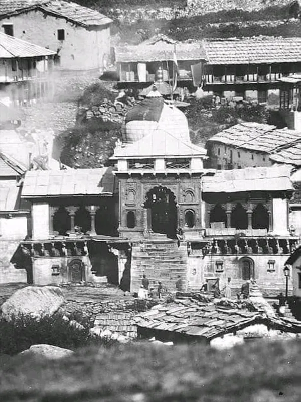
How to Reach Badrinath by Helicopter, Train, Road, Flights

Reaching Badrinath isn't complicated, but the last stretch — Joshimath to Badrinath — has rules that catch a lot of first-time pilgrims off guard. This guide covers every route (road, rail, air, helicopter), gives you one consistent set of distances instead of three conflicting ones, and flags the safety details that actually matter on the ground.
Quick Facts
| Detail | Information |
|---|---|
| Nearest Airport | Jolly Grant Airport, Dehradun (~315–320 km); Badrinath has no airport of its own |
| Nearest Railway Station | Rishikesh (~297–301 km); Haridwar (~324 km) has better long-distance train connectivity despite being slightly farther |
| Distance from Rishikesh | ~297–301 km by road (sources vary) |
| Distance from Haridwar | ~315–324 km by road (sources vary slightly) |
| Distance from Delhi | ~525–530 km by road |
| Elevation | ~3,100–3,133 m (10,170–10,280 ft); sources vary slightly |
| Road Travel Time | 10–14 hours from Haridwar/Rishikesh, usually split over 2 days |
| Last Stretch | Joshimath → Badrinath, ~45 km, under a regulated one-way traffic system |
| Helicopter Option | Dehradun (Sahastradhara) → Badrinath helipad (~1 km from temple) |
By Road
Several interstate and intercity buses run to and from Badrinath, making this the most common way to get there. From Delhi, the Dham is roughly 525 km away; from Rishikesh, it's around 301 km. Regular buses run from Haridwar, Rishikesh, and Delhi.
Road Connectivity
The road to Badrinath connects from Haridwar, Rishikesh, Dehradun, Rudraprayag, Nainital, Kotdwar, and other hill towns of Kumaon and Garhwal. Besides buses, you can drive your own car or hire a taxi from Haridwar or Rishikesh, with parking available near the temple area.
General Road Route Map
Haridwar – Rishikesh – Devprayag – Srinagar – Rudraprayag – Gauchar – Nandprayag – Gopeshwar – Pipalkoti – Joshimath – Hanuman Chatti – Badrinath
By Train
The nearest railheads are Rishikesh (~301 km), Haridwar (~324 km), and Kotdwar (~327 km). Rishikesh is the closest, though it isn't served by many fast trains. From any of these stations, you'll need a cab or bus for the rest of the journey.
Rail Route Map
From Rishikesh Railway Station: Devprayag – Srinagar – Rudraprayag – Gauchar – Karnaprayag – Langasu – Gopeshwar – Pipalkoti – Joshimath – Hanuman Chatti – Badrinath
From Kotdwar Railway Station: Lansdowne – Pauri – Srinagar – Rudraprayag – Gauchar – Karnaprayag – Chamoli – Pipalkoti – Joshimath – Hanuman Chatti – Badrinath
By Air
Badrinath has no airport of its own. The nearest one is Jolly Grant Airport in Dehradun, about 315–320 km away. This works best if you're flying in from places like Tamil Nadu, Kerala, or Kolkata, since it cuts down significantly on total travel time compared to a full road journey from those regions. From Jolly Grant, it's still a 10–12 hour drive to Badrinath.
By Helicopter
This is the fastest and most comfortable way to reach Badrinath, especially useful if you're short on time or travelling with senior citizens. The journey starts from Sahastradhara helipad in Dehradun and lands at the helipad of Badrinath, located about 1 km from the temple — a short car transfer covers the rest. It's pricier than road travel, but it can cut the journey down to half a day.
Helicopter Route Map
Sahastradhara helipad (Dehradun) – Badrinath helipad (~1 km from temple) – Badrinath Temple
Helicopter schedules and fares are set fresh each season and are weather-dependent — confirm current timings with your operator rather than assuming last year's schedule holds.
The Joshimath Gate System — What You Need to Know
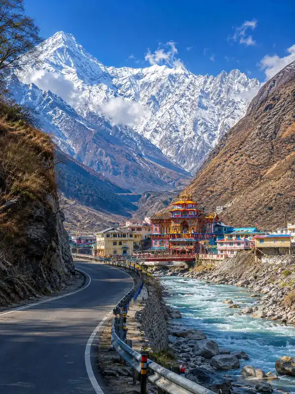
This is the part of the journey most guides skip, and it's the one that actually catches pilgrims out. The final ~45 km stretch from Joshimath to Badrinath is narrow, single-lane in places, and runs one-way traffic rather than free-flowing movement.
- Traffic is regulated by local administration/BRO according to road conditions, traffic volume, and season — this has taken the form of fixed release batches in some years and a rolling alternating-direction system in others, so treat any specific batch schedule as illustrative rather than official.
- There is a practical cutoff for the day's movement toward Badrinath, commonly reported in the mid-to-late afternoon — miss it, and you'll typically need to stay overnight in Joshimath.
- Night driving on this stretch is generally discouraged or restricted; plan to complete this leg well before dark.
- Always confirm the current-day movement schedule locally (with your driver, hotel, or the Joshimath checkpost) before setting off from Rudraprayag or Pipalkoti — this is not a fixed timetable you can rely on from a blog post, including this one.
Practical takeaway: build in a buffer and aim to reach Joshimath by early afternoon rather than cutting it close — checkpoint queues can run long in peak season (May–June), and conditions can change day to day.
Badrinath Road Route Map
There are three commonly used routes, depending on where you're coming from.
Route 1: Haridwar / Rishikesh to Badrinath Dham
Total Distance: ~323 km to Badrinath (326–327 km if continuing to Mana Village) | Total Time: 12–14 hours
Haridwar → Rishikesh → Devprayag → Srinagar → Rudraprayag → Karnaprayag → Nandprayag → Pipalkoti → Joshimath → Vishnuprayag → Govindghat → Pandukeshwar → Badrinath → Mana Village
Step-by-Step Route Breakdown
| Segment | Distance | Time | Highlights |
|---|---|---|---|
| Haridwar → Rishikesh | 25 km | 40 min | Ganga Aarti, Triveni Ghat, Laxman Jhula |
| Rishikesh → Devprayag | 70 km | 2 hours | Confluence of Alaknanda & Bhagirathi rivers |
| Devprayag → Srinagar | 36 km | 1 hour | Scenic views of the Alaknanda River |
| Srinagar → Rudraprayag | 33 km | 1 hour | Confluence of Alaknanda & Mandakini rivers |
| Rudraprayag → Karnaprayag | 32 km | 1 hour | Confluence of Alaknanda & Pindar rivers |
| Karnaprayag → Nandprayag | 20 km | 40 min | Confluence of Alaknanda & Nandakini rivers |
| Nandprayag → Pipalkoti | 26 km | 1 hour | Himalayan valley views |
| Pipalkoti → Joshimath | 35 km | 2 hours | Gateway to Auli and Valley of Flowers |
| Joshimath → Vishnuprayag | 10 km | 30 min | Confluence of Alaknanda & Dhauliganga rivers |
| Vishnuprayag → Govindghat | 12 km | 30 min | Base for Hemkund Sahib & Valley of Flowers treks |
| Govindghat → Pandukeshwar | 2 km | 5 min | Ancient Yogadhyan Badri Temple |
| Pandukeshwar → Badrinath | 22 km | 1 hour | Badrinath Temple, Tapt Kund |
| Badrinath → Mana Village | 3–4 km | 5–10 min | "Last Indian Village" near the Indo-Tibet border |
Segment distances sum to ~323 km at Badrinath and ~326 km including the Mana Village leg — this matches the total quoted above.
Key Highlights
- Panch Prayag: Devprayag, Rudraprayag, Karnaprayag, Nandprayag, Vishnuprayag — five sacred river confluences en route.
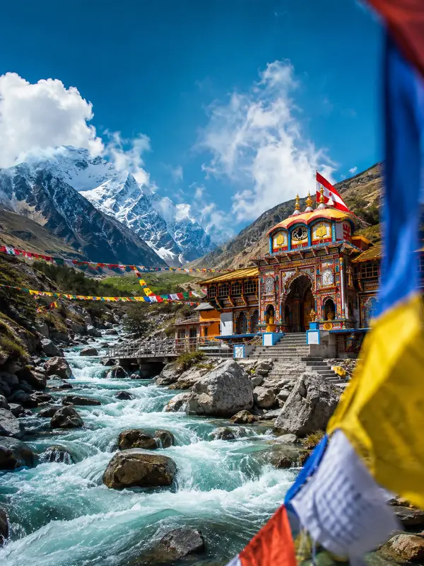
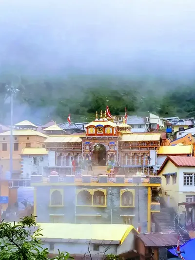
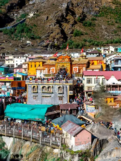
- Badrinath Temple: One of the Char Dhams, dedicated to Lord Vishnu.
- Mana Village: Vyas Gufa, Bheem Pul, and the Saraswati River.
Route 2: Kedarnath to Badrinath via Chopta
Kedarnath – Guptkashi – Ukhimath – Chopta – Gopeshwar – Chamoli – Pipalkoti – Hanuman Chatti – Badrinath
Route 3: Kedarnath to Badrinath (Standard Road Route)
Kedarnath – Gaurikund – Rampur – Phata – Guptkashi – Agastmuni – Rudraprayag – Karnaprayag – Nandprayag – Chamoli – Pipalkoti – Garur Ganga – Joshimath – Vishnuprayag – Govindghat – Pandukeshwar – Hanuman Chatti – Badrinath
Distance Chart: Badrinath from Nearby Places
| From | Distance |
|---|---|
| Rishikesh – Badrinath | ~301 km |
| Gaurikund – Badrinath | ~233 km |
| Almora – Badrinath | ~243–297 km (sources vary more widely here than for other routes — treat as a rough estimate) |
| Kausani – Badrinath | ~230 km |
| Valley of Flowers – Badrinath | ~70 km |
| Auli – Badrinath | ~34 km |
| Delhi – Badrinath | ~525 km |
| Kotdwar – Badrinath | ~327 km |
Badrinath Distance from Major Indian Cities
| City | Distance |
|---|---|
| Ahmedabad | ~1,489 km |
| Indore | ~1,278 km |
| Jaipur | ~801 km |
| Pune | ~1,947 km |
| Kolkata | ~1,664 km |
| Puri | ~1,901 km |
| Bangalore | ~2,564 km |
| Mysuru | ~2,700–2,750 km (derived: Bangalore–Badrinath + Bangalore–Mysuru road distance, not independently verified) |
| Kochi | ~3,100–3,150 km (derived: Bangalore–Badrinath + Bangalore–Kochi road distance, not independently verified) |
| Thiruvananthapuram | ~3,294 km |
| Madurai | ~2,999 km |
| Coimbatore | ~3,182 km |
| Vellore | ~2,607 km |
| Tirupati | ~2,552 km |
Note: these are approximate road distances and can shift slightly depending on the exact route taken (NH7 vs. alternate highways). Treat them as planning estimates, not GPS-precise figures.
Route Guidance from Major Parts of India
These are general highway sequences, not turn-by-turn directions — use live navigation on the day, since diversions and road closures can change the practical route.
Delhi to Badrinath: NH 44 to Haridwar, then NH 7 (the corridor formerly numbered NH 58) via Rishikesh, Devprayag, Srinagar, Rudraprayag, Karnaprayag, and Joshimath.
Mumbai to Badrinath: NH 48 to Ahmedabad, NH 27 to Udaipur, then NH 7 (old NH 58) via Rishikesh, Devprayag, Srinagar, Rudraprayag, Karnaprayag, and Joshimath.
Kolkata to Badrinath: NH 19 to Varanasi, NH 233 to Allahabad, NH 27 to Udaipur, then NH 7 (old NH 58) via the same Rishikesh–Joshimath corridor.
Chennai to Badrinath: NH 44 to Hyderabad, NH 65 to Nagpur, NH 44 to Allahabad, NH 27 to Udaipur, then NH 7 (old NH 58) via Rishikesh–Joshimath.
Bangalore to Badrinath: NH 44 to Hyderabad, NH 65 to Nagpur, NH 44 to Allahabad, NH 27 to Udaipur, then NH 7 (old NH 58) via Rishikesh–Joshimath.
Common Mistakes to Avoid
- Timing the Joshimath crossing too tight. Arriving right at the last gate batch leaves no buffer for traffic or breakdowns — aim to reach well before it.
- Attempting the drive in one long stretch from Delhi. Most pilgrims break the journey at Rudraprayag or Joshimath; fatigue on mountain roads is genuinely risky.
- Skipping the road/weather check before departure. The Rishikesh–Badrinath highway does see periodic landslide-related closures, especially in the monsoon.
- Assuming last year's helicopter schedule still applies. Routes, timings, and fares are reset each season.
- Driving after dark on the Joshimath–Badrinath stretch. This isn't just inconvenient — it's generally not permitted and isn't safe on this terrain regardless.
Pro Tips for a Smoother Journey
- Break the Haridwar/Rishikesh–Badrinath drive into two days, with an overnight halt at Rudraprayag, Karnaprayag, or Joshimath, rather than pushing through in one exhausting day.
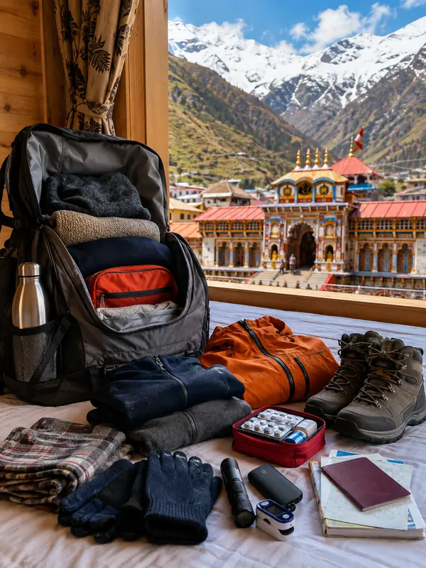
- Carry warm clothing regardless of season — temperatures drop fast as you climb toward Badrinath's altitude.
- Hire a driver experienced with hill roads; this stretch has sharp curves and narrow single-lane sections that reward local experience.
- Check current road-status and weather advisories before you leave, particularly in July–August.
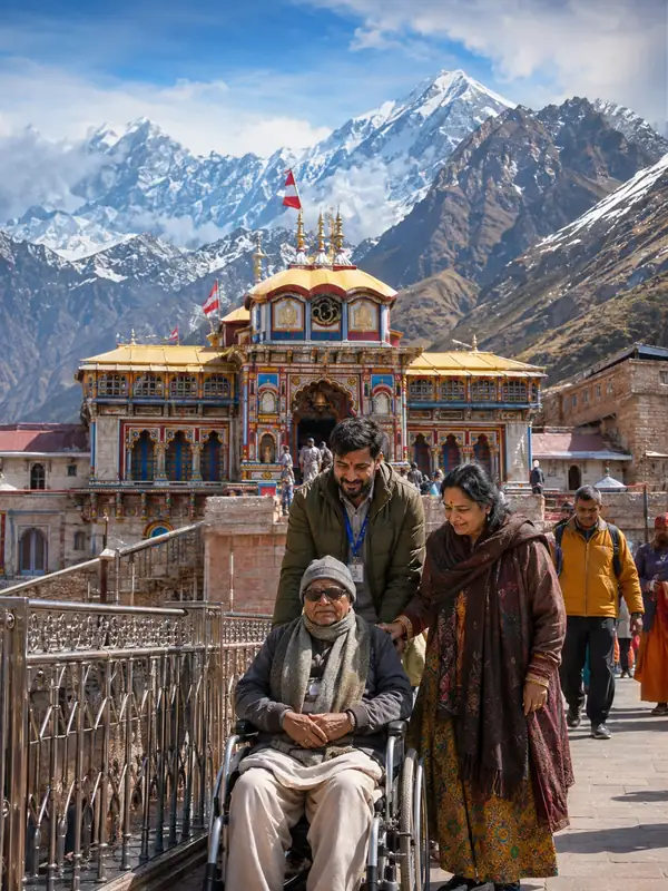
- If travelling with senior citizens or on a tight schedule, the helicopter option from Dehradun is worth the extra cost.
Travel Tips for Badrinath Dham Yatra
- Check weather conditions: Roads to Badrinath deteriorate significantly during monsoon — postpone travel if there's an active weather warning.
- Carry warm clothes: Temperatures stay low even in summer at this altitude.
- Stay hydrated: High altitude and cold conditions increase dehydration risk more than people expect.
- Hire a reliable driver: These mountain roads reward experience — this isn't the stretch to cut corners on.
- Follow road safety rules: Seatbelts, no speeding, no driving under the influence — the margin for error here is genuinely lower than on plains.
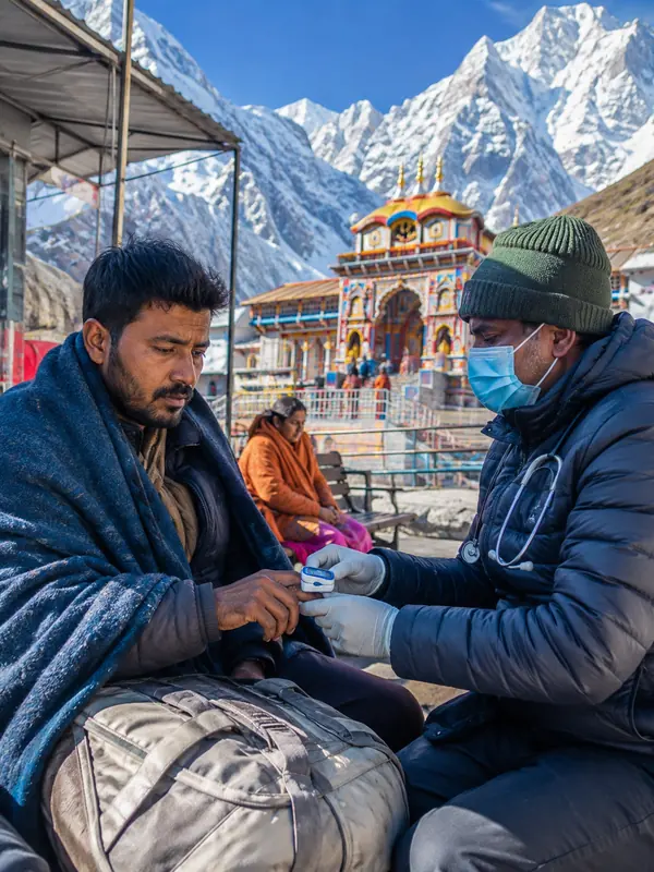
- Be aware of altitude sickness: Above 3,000 m, symptoms like headache, nausea, or dizziness are common — rest and let your body adjust rather than pushing through.
- Respect local customs: Modest clothing, footwear removed at the temple, and no photography inside are expected.
Conclusion
Getting to Badrinath is straightforward on paper — road, rail, air, or helicopter, all converging through Rishikesh and Joshimath. The part that actually needs planning is the Joshimath gate system on the final stretch: time your arrival with a buffer, don't push for the last batch, and don't plan on night driving through those final 45 km. Get that right, and the rest of the journey is just enjoying the route.
FAQs
Q1. How far is Badrinath from Rishikesh?
Ans: Badrinath is approximately 301 km from Rishikesh by road, roughly a 10–12 hour drive depending on traffic and road conditions.
Q2. Does Badrinath have its own airport?
Ans: No. The nearest airport is Jolly Grant Airport in Dehradun, about 315–320 km away.
Q3. What is the nearest railway station to Badrinath?
Ans: Rishikesh is the nearest railway station, around 301 km away, followed by Haridwar (~324 km).
Q4. What is the Joshimath gate system?
Ans: It's a traffic regulation system on the narrow Joshimath–Badrinath stretch, run by local administration/BRO according to road conditions — sometimes as fixed release batches, sometimes as an alternating one-way system. There's a practical afternoon cutoff for the day; always confirm the current system locally rather than relying on a fixed schedule.
Q5. Can I drive to Badrinath at night?
Ans: It's generally discouraged or restricted — plan to complete the Joshimath–Badrinath stretch well before dark rather than risk it.
Q6. How far is the Badrinath helipad from the temple?
Ans: About 1 km — a short car transfer covers the rest of the distance.
Q7. How long does the road journey from Haridwar take?
Ans: Typically 12–14 hours, usually broken into two days with an overnight halt at Rudraprayag or Joshimath.
Q8. Is there a direct train to Badrinath?
Ans: No, Badrinath has no railway station. You'll need to take a train to Rishikesh or Haridwar and continue by road.
Q9. Which is the best route from Delhi to Badrinath?
Ans: Via NH 44 to Haridwar, then NH 7 through Rishikesh, Devprayag, Rudraprayag, Karnaprayag, and Joshimath — roughly 525 km in total.
Q10. Is the road to Badrinath safe during monsoon?
Ans: It's riskier — the Chamoli district route sees periodic landslide-related closures in July–August. Check current road-status advisories before travelling in this window.
Q11. Which is better for senior citizens — road or helicopter?
Ans: Helicopter is generally easier on senior citizens since it cuts a 12–14 hour mountain drive down to about an hour of flying, though road travel with planned overnight halts is manageable too if the trip isn't rushed.
Q12. Can Badrinath be visited in one day from Joshimath?
Ans: Yes — Joshimath to Badrinath is about 45 km, roughly 1.5–2 hours each way, so a day trip is feasible if you leave early and stay within the daily traffic-movement window.



Badrinath Travel Packages


Important Safety Notice
Beware of Fake Char Dham & Kedarnath Helicopter Booking Websites
Fake websites, WhatsApp accounts and advertisements may impersonate genuine travel companies or helicopter operators. Always verify before paying.